Some mobility advocates say the city's 'Green Corridor' amounts to 'lipstick on a pig' rather than a true commitment to better transit and walking infrastructure.


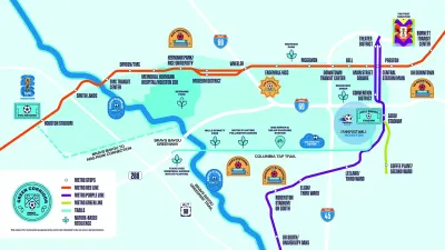
Houston's efforts to improve transit access and walkability ahead of this year's FIFA World Cup could have long-lasting impacts on the city's infrastructure.
As Michael Adkison reports for Houston Public Media, the city created a 14-mile loop dubbed the "Green Corridor" to highlight the city's car-free options. "The Green Corridor can be roughly split in two: the walkable portion on a hike-and-bike trail, and the other half following the Metropolitan Transit Authority of Harris County's light rail system." Visitors can connect to the newly pedestrianized Main Street promenade and the FIFA Fan Festival in East Downtown.
METRO has increased train frequency for the Red Line light rail, which is accessible on about half of the Green Corridor.
Some transit advocates, like Kevin Strickland of Walk and Roll Houston, say the effort is not enough and that "it feels like a bunch of existing features have been stitched together, or connected together, on a map with some lines" rather than a real effort to improve mobility. Strickland points out that summer temperatures in Houston often reach extreme highs, making walking less viable for all visitors.
Read the full story: Houston’s World Cup officials want to make the city more walkable. Will it work?

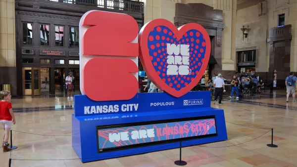
World Cup crowds offer 'stress test' for Kansas City transit planners
Transportation officials are closely monitoring travel patterns during the World Cup to understand how the city's transit system can be improved as the population grows.
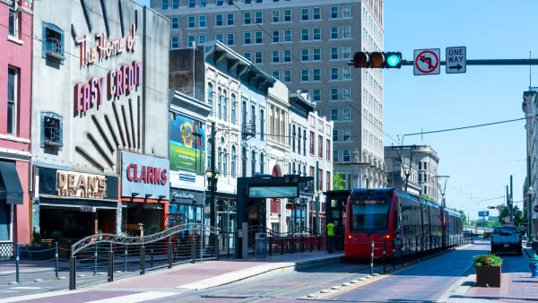
Houston's pedestrian promenade on track to be ready for World Cup crowds
The city is transforming seven downtown blocks along a light rail line into a car-free zone focused on outdoor dining and entertainment.
Research: Sprawl Linked to Poverty
Low-income families living in high-sprawl neighborhoods are limited in their access to education, jobs, and other amenities, often trapping them in a cycle of poverty.

Planetizen Federal Action Tracker
A weekly monitor of how Trump’s orders and actions are impacting planners and planning in America.

California plans to bury El Niño’s downpour
If the state plays its cards right, it may be able to store a billion acre-feet of El Niño’s water in aquifers.

Chicago breaks ground on $3 billion megadevelopment
The new neighborhood, titled Foundry Park, will one day host 3,700 residences.

Satanic place names
From streams and lakes to valleys and canyons, I mapped more than 1,000 places named after the Devil.

California High-Speed Rail Authority CEO resigns after $600,000 scandal
Under Ian Choudri, the authority used taxpayer dollars to fund first class flights and trips to nightclubs.

Want to study the Missouri River? Soon, you may need unanimous approval from 10 states
Legislation would require 10 governors’ permission to study or build projects moving water outside the basin.

FREE Course: Walkable City 1: Why Walkability?
After describing his path towards focusing on walkability as the essence of good planning, Jeff Speck marches through his five principal reasons for making more walkable places.
Reinventing Malls: Planning Alchemy—Turning Gray Fields Into Gold
The course focuses on the opportunities and imperatives that shape reinvention of mall sites.

City of Rosemead
Rutgers University, Edward J. Bloustein School of Planning and Public Policy
One Hundred Miles
Hunter College, City University of New York (CUNY)
The Architects Foundation
University of Cincinnati Online
City of Cambridge
Montrose County
The Pocatello Development Authority