Planners presented two options for new tunnels that would help connect more parts of the Northern California megaregion to San Francisco and Oakland.


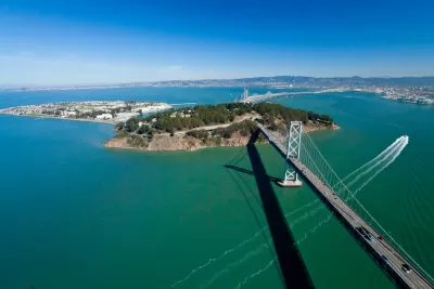
Plans for a new tunnel across the San Francisco Bay are shaping up as the public finally got a look at “the most detailed maps yet” showing the proposed tunnel’s route. As Benjamin Schneider reports for the San Francisco Examiner, planners for the Link21 project revealed two options for the tunnel. “One shows BART and regional rail trains — like Capitol Corridor or Caltrain — traveling side by side in a shared alignment from Oakland and Alameda to the Salesforce Transit Center in San Francisco.”
The second option would have two tunnels separating BART and regional trains. “Both plans hint at the possibility of a BART subway down Geary Boulevard, with the blue arrows pointing west from downtown San Francisco and labeled as a ‘possible extension.’”
Across the bay in Oakland, “Jack London Square, where the A’s are hoping to build a massive development anchored by a new ballpark, and West Oakland could become major transit hubs, hosting both BART stations and regional rail stations.”
Link21 is named for the 21 counties that could be served by new connections enabled by the project.
Schneider notes that “Link21 remains a long way from reality. Project planning and approvals are expected to last through 2027. Completion is roughly projected for 2039.”
Read the full story: A new train tunnel across the Bay? Here are early maps

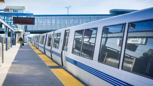
San Francisco’s BART Awarded $545 Loan for Upgraded Rail Cars
The agency plans to modernize its fleet with more efficient rail cars equipped with new safety features.
Is Pay by Distance Unfair to the Poor?
Sam Raby argues that BART’s pay by distance fair structure exacerbates transit inequities.
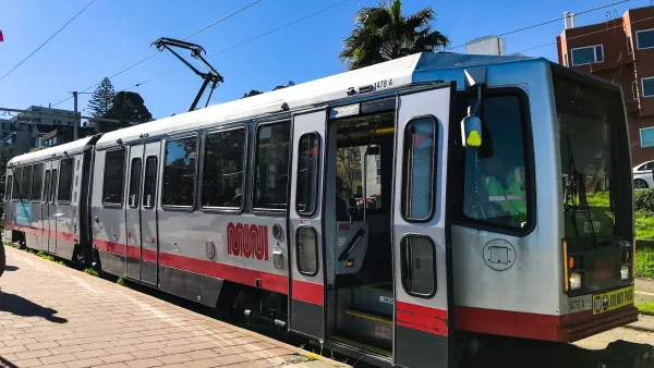
San Francisco cyclists push to allow bikes on Muni trains
The agency is one of few that bans bikes from its trains due to space constraints.

Planetizen Federal Action Tracker
A weekly monitor of how Trump’s orders and actions are impacting planners and planning in America.

California plans to bury El Niño’s downpour
If the state plays its cards right, it may be able to store a billion acre-feet of El Niño’s water in aquifers.

Chicago breaks ground on $3 billion megadevelopment
The new neighborhood, titled Foundry Park, will one day host 3,700 residences.

California High-Speed Rail Authority CEO resigns after $600,000 scandal
Under Ian Choudri, the authority used taxpayer dollars to fund first class flights and trips to nightclubs.

Want to study the Missouri River? Soon, you may need unanimous approval from 10 states
Legislation would require 10 governors’ permission to study or build projects moving water outside the basin.

Desperate measures: Advocates weigh draining Lake Powell to fill Colorado River
Draining the reservoir could reduce evaporation losses by a couple hundred thousand acre-feet.

FREE Course: Walkable City 1: Why Walkability?
After describing his path towards focusing on walkability as the essence of good planning, Jeff Speck marches through his five principal reasons for making more walkable places.
Reinventing Malls: Planning Alchemy—Turning Gray Fields Into Gold
The course focuses on the opportunities and imperatives that shape reinvention of mall sites.

City of Rosemead
Rutgers University, Edward J. Bloustein School of Planning and Public Policy
One Hundred Miles
Hunter College, City University of New York (CUNY)
The Architects Foundation
University of Cincinnati Online
City of Cambridge
Montrose County
The Pocatello Development Authority