This approach makes sense because parks are not isolated spaces, and park planning cannot be done effectively or holistically without considering the social, economic, physical, and political context in which parks are located.


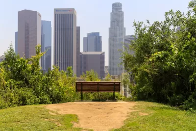
Have you heard of "intersectional planning" as it relates to parks and recreation? Essentially, the term refers to "the integration between planning for green spaces and for other elements, such as transportation, housing, and water management," and is an approach that recognizes "parks and open space as closely connected with their neighborhoods and rely on community-driven plans to meet the diverse needs of stakeholders" (Jennings, et al. 2019).
In this article, Los Angeles County planner Clement Lau argues that park planners must think beyond park boundaries, see the big picture, and plan with interconnections in mind. Specifically, Lau focuses on the unincorporated community of West Athens-Westmont and explains how planning for parks relates to other quality of life issues like safety, land use, and transportation which affect how and whether residents travel to and use existing and future parks. This important work ties in with the 10-Minute Walk Campaign, which is a nationwide movement to ensure that everyone has safe access to a quality park within a 10-minute walk and is explained in a previous post, "A 10-Minute Walk to A Park for Your Health and Well-Being." For an overview of park planning and implementation efforts in West Athens-Westmont, also check out this video.
Reference:
Jennings V, Browning M, Rigolon, A (2019) Urban Green Spaces: Public Health and Sustainability in the United States. Springer, Switzerland.
Read the full story: An Intentional Collision: An intersectional approach to park planning


Making Park Plans a Reality
Los Angeles County implements equity-focused community parks and recreation plans.

A Historic Investment in LA County’s Parks and Open Spaces
Los Angeles County has launched its largest-ever competitive grant program, investing $58 million to expand park access, enhance climate resilience, and support community-driven projects in the areas that need them most.
Envisioning a New Park in East Los Angeles
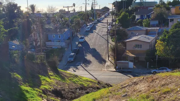
Los Angeles County is working towards transforming underutilized land into a vibrant pocket park in the City Terrace neighborhood of East LA.

Planetizen Federal Action Tracker
A weekly monitor of how Trump’s orders and actions are impacting planners and planning in America.

California plans to bury El Niño’s downpour
If the state plays its cards right, it may be able to store a billion acre-feet of El Niño’s water in aquifers.

Desperate measures: Advocates weigh draining Lake Powell to fill Colorado River
Draining the reservoir could reduce evaporation losses by a couple hundred thousand acre-feet.

After public outcry, Massachusetts city releases housing development tracker
Cambridge’s tracker currently shows 250 housing projects in various stages of development.

40 years after approval, Chicago breaks ground on new park
The park honors Jean Baptiste Point du Sable, the city’s first permanent non-native settler.

‘Hoodwinked:’ New Mexico bill aimed at microgrids paves way for data center development
In an interview with High Country News, Padilla said the legislation “ignited” New Mexico's economy.

FREE Course: Walkable City 1: Why Walkability?
After describing his path towards focusing on walkability as the essence of good planning, Jeff Speck marches through his five principal reasons for making more walkable places.
Reinventing Malls: Planning Alchemy—Turning Gray Fields Into Gold
The course focuses on the opportunities and imperatives that shape reinvention of mall sites.

City of Rosemead
Rutgers University, Edward J. Bloustein School of Planning and Public Policy
One Hundred Miles
Hunter College, City University of New York (CUNY)
The Architects Foundation
University of Cincinnati Online
City of Cambridge
Montrose County
The Pocatello Development Authority