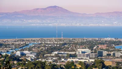
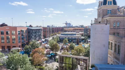
The renaissance predicted for urban areas in the United States started strong during the 2010s but slowed in the years leading up to a potentially generation defining pandemic.

New population estimates from the U.S. Census Bureau "show that the nation’s large cities experienced uneven growth trajectories over the last decade," according to an article by William Frey.
"In the last several years, many cities registered growth slowdowns and declines while the rest of the country rebounded from the Great Recession and the population dispersed toward suburbs and smaller areas," according to Frey's summary of the data. "Some cities grew more rapidly than their surrounding suburbs in the early 2010s, but for many, this is no longer the case."
The analysis breaks down by city size, with population figures for cities with more than 1 million residents (10 cities), cities with populations between 500,000 and 1 million (27 cities), and cities with populations between 250,000 and 500,000 (52 cities). Frey also provides analysis of specific cities within that first, largest group, and explains why growth slowed in the nation's largest cities, shifting to suburban locations, in the second half of the decade.
As for what the future holds, Frey offers this speculation:
There are a lot of unknowns, making this difficult to predict. But it is worth noting that big cities registered their highest growth rates during the down economy and deflated housing market in the wake of the Great Recession. Thus, there is a possibility that young adults—both millennials and Gen Z—may again gravitate to big cities as the pandemic recedes and gives way to a recovering economy.
FULL STORY: American cities saw uneven growth last decade, new census data show

Maui's Vacation Rental Debate Turns Ugly
Verbal attacks, misinformation campaigns and fistfights plague a high-stakes debate to convert thousands of vacation rentals into long-term housing.

Planetizen Federal Action Tracker
A weekly monitor of how Trump’s orders and actions are impacting planners and planning in America.

Chicago’s Ghost Rails
Just beneath the surface of the modern city lie the remnants of its expansive early 20th-century streetcar system.

Bend, Oregon Zoning Reforms Prioritize Small-Scale Housing
The city altered its zoning code to allow multi-family housing and eliminated parking mandates citywide.

Amtrak Cutting Jobs, Funding to High-Speed Rail
The agency plans to cut 10 percent of its workforce and has confirmed it will not fund new high-speed rail projects.

LA Denies Basic Services to Unhoused Residents
The city has repeatedly failed to respond to requests for trash pickup at encampment sites, and eliminated a program that provided mobile showers and toilets.
Urban Design for Planners 1: Software Tools
This six-course series explores essential urban design concepts using open source software and equips planners with the tools they need to participate fully in the urban design process.
Planning for Universal Design
Learn the tools for implementing Universal Design in planning regulations.
planning NEXT
Appalachian Highlands Housing Partners
Mpact (founded as Rail~Volution)
City of Camden Redevelopment Agency
City of Astoria
City of Portland
City of Laramie


