Sprawling subdivision development in Montana is popping up in former agricultural land, pressuring water resources and leading to some legal controversy.


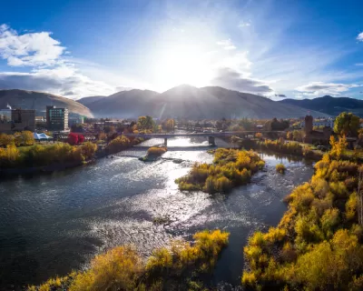
Helen Santoro writes: "Montana’s population has risen by 7.4% since 2010, and ranch lands across the state are being subdivided. But when land is divided, so are the water rights, creating an increasingly fractured landscape."
The article focuses on the example of the 14-million acre watershed of the Clark Fork River, which stretches from the city of Butte in southwestern Montana to Lake Pend Oreille in North Idaho. "Once it was dotted with farms and ranches, but in recent decades, tens of thousands of new houses have been built in the region," according to Santoro "From 1990 to 2016, over 1.3 million acres of undeveloped land in Montana was converted into housing, according to a 2018 report by Headwaters Economics."
Montana practices the "first in time, first in right" doctrine of water law, "meaning that the first person to use a water source has senior rights over newer users," explains Santoro. That means many ranchers and farmers have better claim to water, and the new homeowners have had some rude awakenings to that fact.
Read the full story: Montana’s water rights fractured by new development

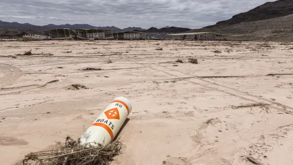
Arizona Struggles to Balance Demand for Water
Two case studies exemplify the extreme economic and legal pressures surrounding water supply in the state of Arizona.
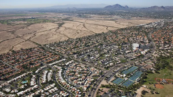
Nearly Half a Million New Arizona Homes Halted Due to Water Crisis
The Arizona Department of Water Resources has put a moratorium on new water supply permits, making the future of planned residential developments uncertain.
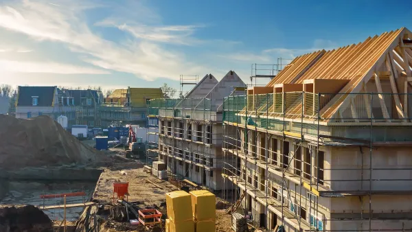
To Build More Housing, Cities Must Be Smarter in How They Use Land
How strategic land use policy decisions can alleviate the housing crisis and limit unsustainable sprawl.

Planetizen Federal Action Tracker
A weekly monitor of how Trump’s orders and actions are impacting planners and planning in America.

The state-sanctioned urbicide of Austin
People don’t kill cities. Freeways do.

US to reduce Colorado River water deliveries to Mexico
A new Colorado Treaty amendment reduces Mexico’s Colorado River water allocation by 250,000 acre feet.

Nation's most wind-powered state turns to coal as data centers increase energy demand
For the first time in decades, Iowa has increased its generation of coal power.

NYC cools commuters with city's first rain garden above a bus stop
New York City officials say the plants in the rain garden can absorb 16 gallons of rainwater during heavy storms.

Brightline West’s future may rely on $6 billion federal loan
The company has until Nov. 2 to make a $400 million equity investment into its proposed high-speed rail line.

FREE Course: Walkable City 1: Why Walkability?
After describing his path towards focusing on walkability as the essence of good planning, Jeff Speck marches through his five principal reasons for making more walkable places.
Reinventing Malls: Planning Alchemy—Turning Gray Fields Into Gold
The course focuses on the opportunities and imperatives that shape reinvention of mall sites.

Eagle County Government
Harvard University Graduate School of Design
Nashville Planning Department
The Architects Foundation
University of Cincinnati Online
The Pocatello Development Authority
The Urban Renewal Agency of the City of Pocatello
Journal of the American Planning Association