Buying land in between paved cities and forests has become increasingly popular, but those same areas are naturally fire prone.


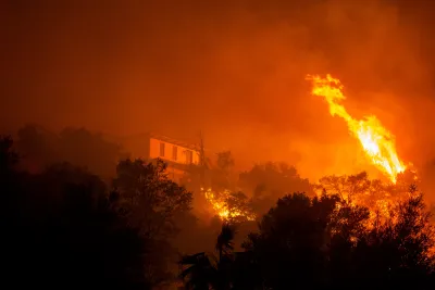
Suburban sprawl in America has led to explosive population growth in wildfire-prone areas: buying land in between paved cities and forests has become increasingly popular due to its scenic views and cheap price tag, but those same areas in the “wildland-urban interface” are naturally fire prone. Sachi Kitajima Mulkey reports for Grist:
A recent study in Natural Hazards, a Nature journal, found that the expansion of this kind of housing in tandem with climate change quadrupled the risk of destructive wildfire in California. In January 2025, the Eaton and Palisades fires broke out in the shrubby sprawl surrounding Los Angeles, forcing more than 200,000 people to evacuate and burning down thousands of structures. Earlier this month, three large wildfires struck suburban areas of Spokane, Washington, the state’s second-biggest city.
Over a third all homes in the continental U.S. are now considered to be in the wildland-urban interface. Chris Buckley, a public information officer with the U.S. Forest Service, said that the chances of a fire increase as more people move into one of these areas. Wildland-urban interface neighborhoods are one of the most rapidly growing types of land in the country.
Read the full story: In the American West, wildfire comes for the suburbs

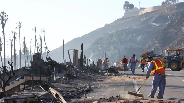
Malibu and Pasadena residents will be able to build up to 4 units on fire-damaged properties
The two cities settled a lawsuit brought by a YIMBY group that challenged their ban on multifamily housing in fire-impacted areas.

UCLA Experts Offer Critical Support for LA Wildfire Response and Recovery
The UCLA Luskin Center for Innovation offers expert guidance on LA wildfire response and recovery, addressing critical issues like water safety, air quality, equitable rebuilding, and climate adaptation to promote resilience and sustainability.
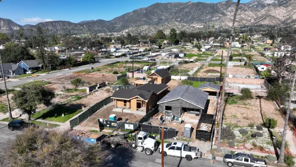
Almost 40% of LA fire survivors face a housing crisis
Many Angelenos who lost their homes in the Altadena and Pacific Palisades fires have already run out of temporary housing funds.

Planetizen Federal Action Tracker
A weekly monitor of how Trump’s orders and actions are impacting planners and planning in America.
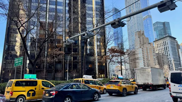
Data reveals that NYC’s bet on congestion pricing has paid off
After almost two years of the program, reports show positive impacts on traffic and air quality and no disruptions to parking.
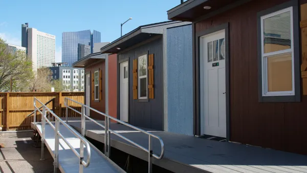
Denver is solving homelessness. Why aren't the rest of us?
Since 2023, Denver's street homeless population has decreased by 64%, proving that effective tools exist to support those in need of housing.

Chicago's streets are littered with dead birds. Will the city protect them?
Chicago sits in the route of migratory birds traveling south. Its abundance of glass buildings and bright lights make it particularly disorienting for the animals.

CA city to shut down airport, transform it into utopian park
The western side of the 200-acre park will feature a dog park, nature education center and arboretum.

NYC to vote on supporting outdoor dining, streamlining bus and bike lane creation
The city has five proposed amendments to its municipal constitution on the ballot this November.

FREE Course: Walkable City 1: Why Walkability?
After describing his path towards focusing on walkability as the essence of good planning, Jeff Speck marches through his five principal reasons for making more walkable places.
Reinventing Malls: Planning Alchemy—Turning Gray Fields Into Gold
The course focuses on the opportunities and imperatives that shape reinvention of mall sites.

City of Rosemead
Rutgers University, Edward J. Bloustein School of Planning and Public Policy
One Hundred Miles
The Architects Foundation
University of Cincinnati Online
Montrose County
Northern Illinois Transit Authority (NITA)
The Pocatello Development Authority