Almost all of the state’s reservoirs are nearing capacity after significant storms passed across the state.


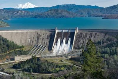
Lake Shasta, California’s largest reservoir, us up to 77 percent capacity after last weekend’s rains, rising 36 feet since December 16.
As Paul Rogers explains in The Mercury News, “Similarly, the water level at Oroville, the state’s second-largest reservoir, in Butte County, has jumped 69 feet over the same three weeks. On Monday, it was 73% full and at 134% of its historical average, having added nearly as much water in the past 24 hours as Crystal Springs Reservoir in San Mateo County holds when full.”
The Sierra Nevada snowpack, down to 18 percent of normal on December 16, was up to 90 percent on Monday as skiers celebrated the fresh powder.
California typically receives most of its rain between December and March, so more wet weather could be on the way. “In Southern California, Cachuma Reservoir, the largest in Santa Barbara County, was 100% full and spilling on Monday. Farther south, Diamond Valley Lake in Riverside County, a linchpin of the water supply for 20 million people in the Los Angeles region, was 94% full.”
Read the full story: California’s largest reservoir rises 36 feet as rains boost water supply statewide

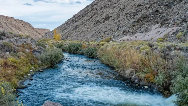
California is Out of Drought for First Time in 25 Years
The state’s reservoirs are reaching capacity for the first time in decades, but more rain could prompt flooding in downstream communities.
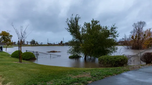
California’s Reservoirs are Filling Up, but For How Long?
Recent storms are bringing plenty of water to parched parts of California, but scientists warn the relief won’t be a long-term solution to longer, drier periods.
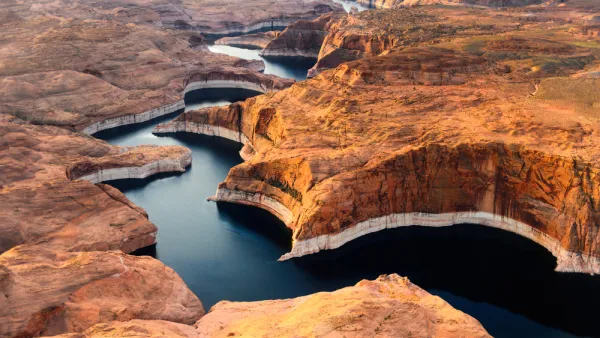
States Agree to Drastic Water Cuts From Colorado River
In the throes of a historic megadrought, three Southwestern states will make deep reductions in their water usage to preserve diminishing resources.

Planetizen Federal Action Tracker
A weekly monitor of how Trump’s orders and actions are impacting planners and planning in America.

California plans to bury El Niño’s downpour
If the state plays its cards right, it may be able to store a billion acre-feet of El Niño’s water in aquifers.

Chicago breaks ground on $3 billion megadevelopment
The new neighborhood, titled Foundry Park, will one day host 3,700 residences.

Satanic Place Names
From streams and lakes to valleys and canyons, I mapped more than 1,000 places named after the Devil.

California High-Speed Rail Authority CEO resigns after $600,000 scandal
Under Ian Choudri, the authority used taxpayer dollars to fund first class flights and trips to nightclubs.

Want to study the Missouri River? Soon, you may need unanimous approval from 10 states
Legislation would require 10 governors’ permission to study or build projects moving water outside the basin.

FREE Course: Walkable City 1: Why Walkability?
After describing his path towards focusing on walkability as the essence of good planning, Jeff Speck marches through his five principal reasons for making more walkable places.
Reinventing Malls: Planning Alchemy—Turning Gray Fields Into Gold
The course focuses on the opportunities and imperatives that shape reinvention of mall sites.

City of Rosemead
Rutgers University, Edward J. Bloustein School of Planning and Public Policy
One Hundred Miles
Hunter College, City University of New York (CUNY)
The Architects Foundation
University of Cincinnati Online
City of Cambridge
Montrose County
The Pocatello Development Authority