Researchers from the University of Maryland and Texas A&M surveyed stormwater officials and synthesized the results. Their conclusion: "Rainwater is taking its toll on metropolitan America"


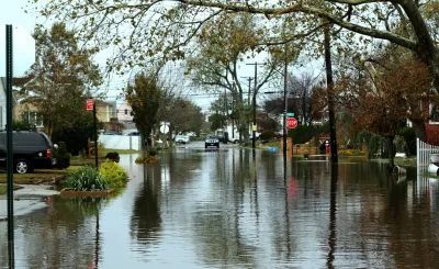
Slate staff writer Henry Grabar reports on a new study released on the threat posed by urban flooding:
It’s an anthropocene disaster, a manmade problem whose harms are decoupled from the Federal Emergency Management Agency’s floodplain maps, and from the risk awareness and preparation that goes along with that official warning. Many homeowners affected by flooding never thought they’d have to worry about it.
A new report by researchers at the University of Maryland and Texas A&M tries to assess the damage. “The Growing Threat of Urban Flooding,” released on Wednesday, surveys more than 300 stormwater officials and synthesizes the surprisingly scant body of knowledge. Rainwater is taking its toll on metropolitan America—but how do we measure it?
According to National Weather Service data, freshwater flood losses in the United States amount to nearly $8 billion a year over the past three decades—as if the damage from a very bad hurricane were spread throughout the country. Even during tropical cyclones, however, two in three flood insurance claims relate to freshwater flooding, not storm surge. Some flooding comes from swollen rivers or occurs on low-lying properties. But a surprisingly large degree of rainfall damage, based on local case studies, appears to be determined by manmade landscapes of asphalt, concrete, and iron. After scanning reports from local NWS field offices, the authors believe that the nation experienced some 3,600 urban flooding events in the past 25 years—about one every two to three days.
Read the full story: How We Built Our Way Into an Urban Flooding Epidemic
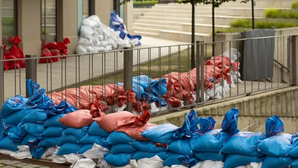
How US Communities Are Building Resilience Against Flooding
Flooding causes over $400 billion in damage in the United States every year.
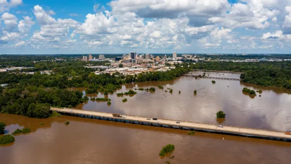
Costs to Fix Jackson's Water System Estimated at $1 Billion
Planning and funding are both in dire need in Jackson, Mississippi. The question is who should be in charge of all the planning and funding.
Water Supply Failure in Jackson, Mississippi
A catastrophic failure of the water supply in Jackson is leaving state and local officials scrambling to deliver clean water to some 180,000 residents of the state’s capital.

Planetizen Federal Action Tracker
A weekly monitor of how Trump’s orders and actions are impacting planners and planning in America.

Eastern Nebraska is running out of electricity
Data centers and electrification are straining eastern Nebraska’s grid, throttling economic development.
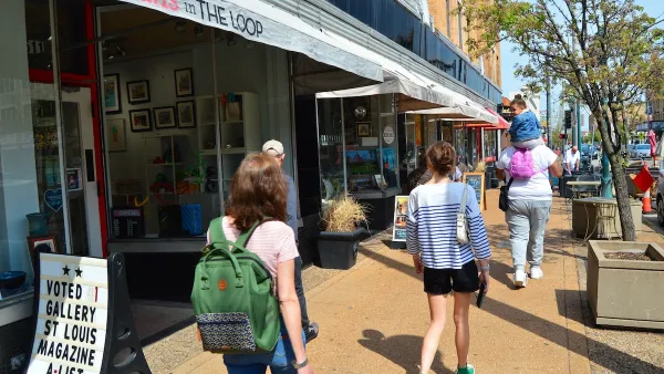
Move over, LA: St. Louis gears up for Olympics, invests millions in downtown redevelopment
The Missouri city will host the 2028 Olympic soccer group stage and knockout matches.

Dallas releases zoning code overhaul to officials
The drafted overhaul is over 400 pages long.

NYC renovations for dangerous, ‘mercilessly crammed’ street delayed until 2027
Construction was supposed to begin this fall.

San Diego’s Midway Rising project gets greenlight from city council
The project looks to become the largest affordable housing development in California's history.

FREE Course: Walkable City 1: Why Walkability?
After describing his path towards focusing on walkability as the essence of good planning, Jeff Speck marches through his five principal reasons for making more walkable places.
Reinventing Malls: Planning Alchemy—Turning Gray Fields Into Gold
The course focuses on the opportunities and imperatives that shape reinvention of mall sites.

City of Rosemead
Rutgers University, Edward J. Bloustein School of Planning and Public Policy
One Hundred Miles
University of Michigan School for Environment and Sustainability (SEAS)
Hunter College, City University of New York (CUNY)
The Architects Foundation
City of Cambridge
The Pocatello Development Authority
The Urban Renewal Agency of the City of Pocatello