Park planner Clement Lau discusses five (plus one in Los Angeles) key data sources for parks and recreation planning.


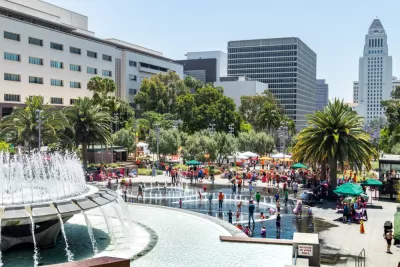
Types of amenities, number or residents within a half-mile, most popular sports in a city or neighborhood, age of likely park users, and so on – these are some of the items of information that are useful, even critical, to planning parks. Los Angeles County compiled a Los Angeles Countywide Parks and Recreation Needs Assessment, which provides planners with detailed information about their parks and recreational facilities, according to Los Angeles County Planner Clement Lau. However, even with this detailed analysis, L.A. County park planners supplement it with other data sources, including the following:
- The Trust for Public Land publishes information on the park systems of the 100 most populous cities in the United States.
- The National Recreation and Park Association publishes Park Metrics, perhaps the most comprehensive source for parking planning tools (including online tools) to assist agencies in producing reports.
- Esri Demographics Data – Esri publishes reports providing invaluable information ranging from population and lifestyles to consumer spending and traffic counts.
American Community Survey is an annual survey conducted by the U.S. Census Beureau and is the premier source of detailed information in the United States about population, education, jobs, veterans, and housing. In L.A., the ACS is an important source of data for Quimby park planning.
The U.S. Census is of course well known and is conducted every ten years to assist the U.S. government in allocating funding for education, public health, transportation, and other programs.
By utilizing data from these various sources, cities and counties can provide park and recreational facilities that better serve their constituencies. For more detailed about these data sources, please see the source article.
Read the full story: Data-Driven Park Planning


A New Green Thumb Tool for Planners
The Greenprint Resource Hub aims to integrate open space, parks, and agriculture into city and regional planning efforts.
All We Want for the Holidays is…
Here are a dozen timely gift ideas for creating better communities.
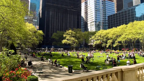
Top American Cities for Parks
The Trust for Public Land (TPL) recently released its annual report which ranks park systems in the 100 most populous U.S. cities.

Planetizen Federal Action Tracker
A weekly monitor of how Trump’s orders and actions are impacting planners and planning in America.

Amtrak, CN end decades-long dispute with eight-year agreement
The new operating agreement establishes an updated framework for the companies to work together, including processes to resolve disputes.
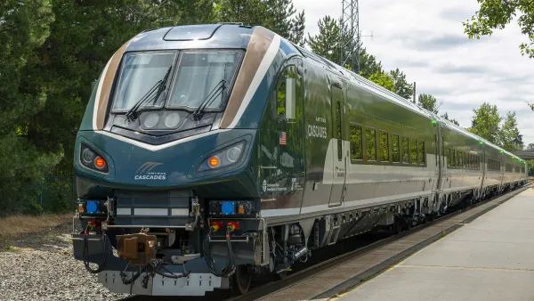
Northwest rail fans eager for Sept. 30 debut of Amtrak’s Airo fleet
Get ready for that new train smell and more seats. But they won’t go faster or run more frequently on the Cascades route in Washington and Oregon.

Brightline Florida files for bankruptcy
The transit company is over $5 billion in debt.

St. Louis Metro to test if single-car trains can reduce operating costs, maintain rider satisfaction
The pilot program will run from October to spring 2027, and begin with one single-car train operating on Metrolink’s Red and Blue lines.

Pennsylvania is building data centers in abandoned mines
Housing data centers in mines provides an alternative to destroying local forests and may spare residents from data centers’ noise and air pollution.

FREE Course: Walkable City 1: Why Walkability?
After describing his path towards focusing on walkability as the essence of good planning, Jeff Speck marches through his five principal reasons for making more walkable places.
Reinventing Malls: Planning Alchemy—Turning Gray Fields Into Gold
The course focuses on the opportunities and imperatives that shape reinvention of mall sites.

City of Thousand Oaks
City of Wisconsin Rapids
Harvard University Graduate School of Design
The Architects Foundation
University of Cincinnati Online
The Pocatello Development Authority
The Urban Renewal Agency of the City of Pocatello