Mapping Inequality
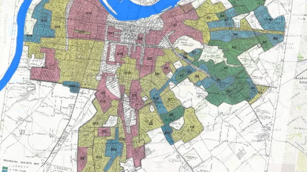
Study: Historical Redlining Maps No Longer a Proxy for Black America
Black Americans have moved on from formerly redlined neighborhoods, and other minorities and whites have moved in. The wave of presidential campaigns that have based housing policy proposals on redlining maps might be misguided as a result.
Mapping the Microcosms of Segregation
A new analysis of inequality looks at where people go and how they spend their time.
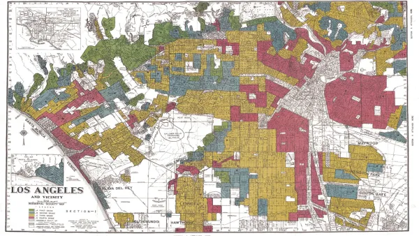
New Mapping Tool Illuminates the Consequences of Redlining
According to Next City, a new mapping tool from the National Community Reinvestment Coalition reveals the roots of gentrification in addition to making stark a history of discrimination.
Mapping the Racist History of Real Estate in New Deal America
The Mapping Inequality website documents how the liberal ideals of the New Deal devolved into discrimination and inequality.

FREE Course: Walkable City 1: Why Walkability?
After describing his path towards focusing on walkability as the essence of good planning, Jeff Speck marches through his five principal reasons for making more walkable places.
Reinventing Malls: Planning Alchemy—Turning Gray Fields Into Gold
The course focuses on the opportunities and imperatives that shape reinvention of mall sites.

City of Rosemead
Rutgers University, Edward J. Bloustein School of Planning and Public Policy
One Hundred Miles
University of Michigan School for Environment and Sustainability (SEAS)
Hunter College, City University of New York (CUNY)
The Architects Foundation
City of Cambridge
Montrose County
The Pocatello Development Authority