Thought eh majority of grocery stores that have closed in New York City recent years were located in Brooklyn, the issue still spreads far and wide through the city's boroughs.


An interactive post by Tanay Warerkar maps a spate of grocery store closures in New York City. Counting 11 closures in all, the map reaches from Harlem in Manhattan to Murray Hill in Queens and Park Slope in Brooklyn.
"Many factors have led to these closures," according to Warerkar. "Some stores were driven out by rent increases, while others are being transformed into large-scale residential developments. Still more were affected by the bankruptcy of The Great Atlantic & Pacific Tea Company, or A&P, which subsequently led to the auctioning off of several stores."
Warerkar includes specific write-ups of each of the closures, and asks that reader supplement the list with examples neglected on the current list.
Read the full story: Map: New York City's Disappearing Grocery Stores


How Easy is Walking to the Grocery Store in Your City?
Angie Schmitt shares news of an effort by WalkScore to rank cities based on the ability of residents to access grocery stores on foot. WalkScore invites planners all over country to use their data to improve walkable access to food in cities.

NYC's first city-run grocery store coming to the South Bronx
City-owned grocery stores were one of Mayor Mamdani's campaign promises.
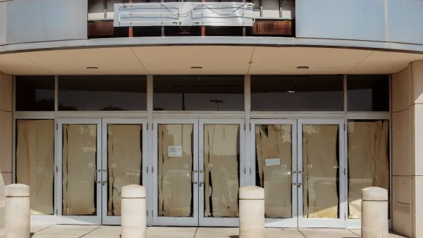
How to Repurpose Vacant Storefronts
Loosening restrictions on clean light manufacturing can revive dormant storefronts and revitalize communities.

Planetizen Federal Action Tracker
A weekly monitor of how Trump’s orders and actions are impacting planners and planning in America.

California plans to bury El Niño’s downpour
If the state plays its cards right, it may be able to store a billion acre-feet of El Niño’s water in aquifers.

Chicago breaks ground on $3 billion megadevelopment
The new neighborhood, titled Foundry Park, will one day host 3,700 residences.

California High-Speed Rail Authority CEO resigns after $600,000 scandal
Under Ian Choudri, the authority used taxpayer dollars to fund first class flights and trips to nightclubs.

Want to study the Missouri River? Soon, you may need unanimous approval from 10 states
Legislation would require 10 governors’ permission to study or build projects moving water outside the basin.

Desperate measures: Advocates weigh draining Lake Powell to fill Colorado River
Draining the reservoir could reduce evaporation losses by a couple hundred thousand acre-feet.

FREE Course: Walkable City 1: Why Walkability?
After describing his path towards focusing on walkability as the essence of good planning, Jeff Speck marches through his five principal reasons for making more walkable places.
Reinventing Malls: Planning Alchemy—Turning Gray Fields Into Gold
The course focuses on the opportunities and imperatives that shape reinvention of mall sites.

City of Rosemead
Rutgers University, Edward J. Bloustein School of Planning and Public Policy
One Hundred Miles
Hunter College, City University of New York (CUNY)
The Architects Foundation
University of Cincinnati Online
City of Cambridge
Montrose County
The Pocatello Development Authority