Walkable urban places are poised to "put a foundation under the economy as well as government tax revenues," concludes Christopher Leinberger in a new report. Better! Cities & Towns delivers some highlights from his much anticipated study.


Last week, we previewed the results of a new study examining the emergence of Washington D.C. as a national model for walkable urbanism. Now published, the findings of the study are astounding.
"In the first regional, comprehensive study of mixed-use urban centers, Christopher Leinberger coins a clever term, WalkUPs (walkable, urban places)," writes Robert Steuteville. "Leinberger examines 43 WalkUPs in the Washington, DC, region, most of which have been created in the last two decades."
"Although they only occupy 1-2 percent of the DC land area, they account for 29 percent of the income-producing property and they generate tax revenues far out of proportion to the land they consume. Since 1990, WalkUPs have steadily gained a larger share of commercial development in the region, and Leinberger, research professor of urban real estate at the George Washington University School of Business, argues DC is a model for how the nation will develop in the coming decades."
Thanks to Rob Steuteville
Read the full story: Study: Shift to walkable urban places is good news for economy

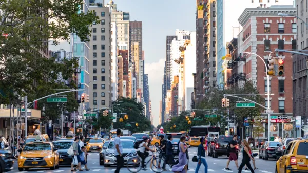
Foot Traffic Ahead: Report Reveals the Resilience of Walkable Places
Reports of the city’s death have been greatly exaggerated, according to new research from Smart Growth America.
Roundtable Discussion: Retrofitting Suburbia for Walkability
One of the biggest obstacles to retrofitting suburbia with more walkable environments is passionate local opposition to change.

Houston's Latest Push for Walkable Neighborhoods
Building on 2009's Transit Corridor Ordinance, Houston's Walkable Places Committee is creating a process for specific neighborhoods to adopt new rules emphasizing walkability.

Planetizen Federal Action Tracker
A weekly monitor of how Trump’s orders and actions are impacting planners and planning in America.

Amtrak, CN end decades-long dispute with eight-year agreement
The new operating agreement establishes an updated framework for the companies to work together, including processes to resolve disputes.

Judges permit Denver to divert 77,000 acre feet from the Colorado River for reservoir expansion
Overuse and climate change have caused the Colorado River’s water levels to plummet.

Alabama scores up to $2.5 billion federal loan for largest infrastructure project in state’s history
The Mobile River Bridge and Bayway Project aims to ease congestion at Alabama’s worst bottleneck.

Trump is considering data centers on 6 states' public land — some state officials say they had no idea
If the administration approves the proposed projects, data center and data center-related developments will cover 17,600 acres of public land.

Despite court ruling, Trump is keeping nearly all wind projects in the US on hold
At least 110 wind energy projects have not heard from the government since a federal judge ruled that the Trump administration's freeze on wind turbine clearances was likely illegal.

FREE Course: Walkable City 1: Why Walkability?
After describing his path towards focusing on walkability as the essence of good planning, Jeff Speck marches through his five principal reasons for making more walkable places.
Reinventing Malls: Planning Alchemy—Turning Gray Fields Into Gold
The course focuses on the opportunities and imperatives that shape reinvention of mall sites.

KFH Group Inc.
Greater Baltimore Committee
Eagle County Government
The Architects Foundation
University of Cincinnati Online
The Pocatello Development Authority
The Urban Renewal Agency of the City of Pocatello