Every so often, I read a blog post or an article talking about the trade-off between "mobility" and making places more accessible to nonmotorists. The hidden assumption behind such statements is that "mobility" means cars going as fast as possible. So if every street is an eight-lane highway with cars going 70 miles per hour, overall social "mobility" is therefore high.



Every so often, I read a blog post or an article talking about the trade-off between "mobility" and making places more accessible to nonmotorists. The hidden assumption behind such statements is that "mobility" means cars going as fast as possible. So if every street is an eight-lane highway with cars going 70 miles per hour, overall social "mobility" is therefore high.
The use of the word "mobility" to describe fast traffic slants public dialogue in favor of such traffic: after all, who could be against people being mobile?
But we need not define mobility this way. According to one online dictionary I found, "mobility" means (among other things) "the movement of people in a population, as from place to place."*
In a sprawling city where most streets are designed for fast traffic, the mobility of some people (fast drivers) is undoubtedly very high. But the mobility of others is not. In such places, streets are dangerous and uncomfortable for pedestrians- which means that in fact, nondrivers cannot easily move from place to place and are thus not so mobile after all. And even the mobility of drivers is limited: they can be mobile as long as they are driving, but if they choose not to drive for some reason, their mobility disappears.
Thus, government construction of wide, automobile-oriented streets does not create mobility for all. Instead, automobile-dependent places actually eliminate mobility for nondrivers. It logically follows that mobility for all is highest in places that accommodate pedestrians, transit users, and bicyclists as well as drivers- in other words, that accessibility is mobility.
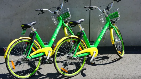
Dockless Pedal Bikeshare Loses Traction
Once a darling of investors and urbanists alike, pedal-driven dockless bikeshare is getting eclipsed by e-scooters and e-bikes.
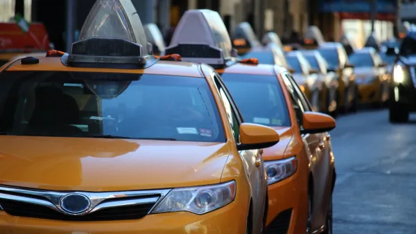
15 Companies Adopt 'Shared Mobility Principles for Livable Cities'
Uber, Lyft, and other major transportation technology companies have defined the role they aspire to play in the future of mobility.

Can a Bike Commute Cause More Harm Than Good?
Researchers at Columbia University are investigating pollution intake among cyclists to determine if cycling really is a healthy way to commute.

Planetizen Federal Action Tracker
A weekly monitor of how Trump’s orders and actions are impacting planners and planning in America.

Eastern Nebraska is running out of electricity
Data centers and electrification are straining eastern Nebraska’s grid, throttling economic development.

Study reveals best places in the U.S. for cycling, walking
New research from Streetlight Data examines bicycle and pedestrian miles per capita in the 100 largest U.S. cities by population.

Officials look to alter BART extension as price goes through the roof
Tariffs and the war with Iran are behind the rising cost.

To power data centers, Utah company may build hundreds of nuclear reactors on state land
In its permit application, Valar asked for the county to confirm that changes within its outlined plan would still be covered by the permit.

San Antonio is using environmental review to stall ICE detention center
San Antonio sued last month to pause work on the new detention center until the federal government studied its effect on the surrounding area.

FREE Course: Walkable City 1: Why Walkability?
After describing his path towards focusing on walkability as the essence of good planning, Jeff Speck marches through his five principal reasons for making more walkable places.
Reinventing Malls: Planning Alchemy—Turning Gray Fields Into Gold
The course focuses on the opportunities and imperatives that shape reinvention of mall sites.

City of Charlotte
City of Rosemead
Rutgers University, Edward J. Bloustein School of Planning and Public Policy
University of Michigan School for Environment and Sustainability (SEAS)
Hunter College, City University of New York (CUNY)
The Architects Foundation
City of Cambridge
The Pocatello Development Authority
The Urban Renewal Agency of the City of Pocatello

