Despite official calls following the 1993 floods along the Mississippi to remove development from flood plains, more housing and retail developments continue to be built along vulnerable areas.


"Once it was a cornfield; now it's a Wal-Mart, a Taco Bell, a Target. Here along a stretch of Missouri's Highway 40, in the Chesterfield Valley area just west of downtown St. Louis, what's said to be the largest strip mall in the country sits on about 46 acres of Mississippi River bottomlands. Less than 20 years ago, the land was open space.
It's been fifteen years since the Great Flood of 1993 put this land under 10 feet of water. Since then, thousands of acres of floodplain in the St. Louis area have been built up with strip malls, office and industrial parks, and 28,000 new homes. And all this infrastructure depends on miles and miles of levees to hold back the Mississippi and Missouri rivers the next time they try to retake the land.
If you ignore the historical tendency of the Mississippi and Missouri to periodically drown it, this vast, flat landscape does present an appealing canvas for building.
The Flood of 1993 was one of the most destructive in the recorded history of the Mississippi Basin: nearly 50 people were killed, over 70,000 evacuated, and 50,000 homes damaged on over 17 million acres (close to 27,000 square miles) across nine states. Over 16,000 square miles of working cropland was flooded, at a loss of more than $5 billion. All told, the flood caused around $16 billion in damage.
But official resolve to depopulate the floodplain has given way to development fever in Missouri: over $2.2 billion worth so far on land that was underwater in 1993. And unlike some of the other states deluged in the Flood of 1993, such as Wisconsin, Iowa, and Illinois, Missouri has been much slower to enact stronger regulations for floodplain development -- perhaps because the state has hundreds of miles of floodplain fronting the Mississippi and Missouri rivers (read: lots of tax income lost and jobs unrealized if new businesses and homes don't get built)."
Read the full story: Tempting Fate: Why We Insist on Living in Floodplains
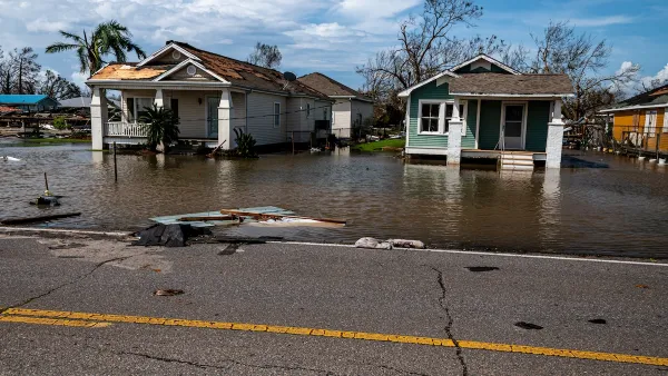
Floodplain Development Largely Concentrated in Gulf Coast States
Many U.S. cities use ‘routine’ practices like zoning changes and permitting to discourage development in high-risk flood zones.
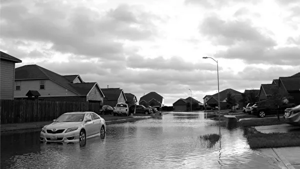
NPR: HUD Sells Flood-Prone Homes Without Disclosing Risks
The troubling trend is particularly pronounced in lower-income communities, where experts worry households are being inadvertently set up for big financial losses.
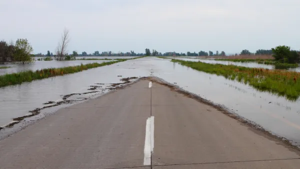
Most Americans Unaware of Flood Risks, Study Finds
The lack of disclosure laws in most states has led to an overvaluation of homes located in floodplains across the country.

Planetizen Federal Action Tracker
A weekly monitor of how Trump’s orders and actions are impacting planners and planning in America.

California plans to bury El Niño’s downpour
If the state plays its cards right, it may be able to store a billion acre-feet of El Niño’s water in aquifers.

Desperate measures: Advocates weigh draining Lake Powell to fill Colorado River
Draining the reservoir could reduce evaporation losses by a couple hundred thousand acre-feet.

US buildings threatened, destroyed by fires set to triple by 2060
Researchers found a high fire risk for socioeconomically vulnerable neighborhoods in the American West.

LA residents may be allowed to paint their own crosswalks
Councilwoman Katy Yaroslavsky put out a motion instructing the Los Angeles Department of Public Transportation to study the feasibility of allowing volunteers to paint crosswalks.

Dallas moves to overhaul its zoning code
The city's zoning reform will allow more multi-family and mixed-use developments.

FREE Course: Walkable City 1: Why Walkability?
After describing his path towards focusing on walkability as the essence of good planning, Jeff Speck marches through his five principal reasons for making more walkable places.
Reinventing Malls: Planning Alchemy—Turning Gray Fields Into Gold
The course focuses on the opportunities and imperatives that shape reinvention of mall sites.

City of Rosemead
Rutgers University, Edward J. Bloustein School of Planning and Public Policy
One Hundred Miles
Hunter College, City University of New York (CUNY)
The Architects Foundation
University of Cincinnati Online
City of Cambridge
Montrose County
The Pocatello Development Authority