A new report examines the environmental, economic, and social impacts of sprawl in the East-of-Hudson New York City Watershed.


Sprawl haphazard, auto-oriented development characterized by strip malls outside of existing downtown centers and McMansion subdivisions in formerly rural areas is threatening water resources and quality of life in the East-of-Hudson New York City Watershed and throughout the Hudson Valley. Over the last 30 years, the New York City-metro area experienced a 13% population increase, but a 60% increase in urbanized land. Citing sprawl as the chief culprit, in 2000 the National Trust for Historic Preservation designated the Hudson Valley as one of Americas most endangered historic places. Under the false guise of economic growth, careless development is consuming precious resources, disrupting local economies, undermining civic life, and threatening public health. Moreover, as sprawl persists, drinking water quality declines.
This report discusses the environmental, economic, and social impacts of sprawl, with an aim to educate citizens and public officials about sprawl and to give them the ammunition necessary to fight sprawl projects in their communities.
Thanks to Chris Steins
Read the full story: Pave It...or Save It?


Planetizen Federal Action Tracker
A weekly monitor of how Trump’s orders and actions are impacting planners and planning in America.
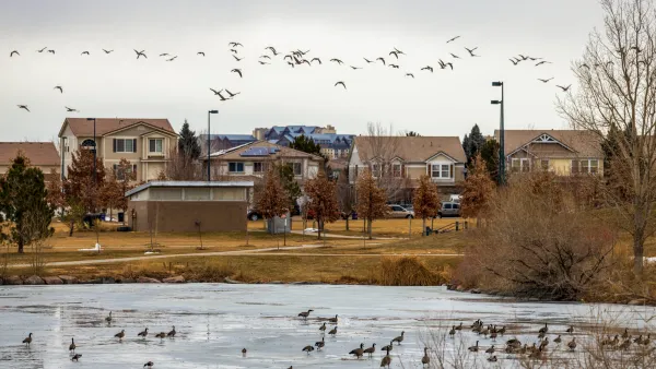
Colorado’s Largest Data Center Could Rise Next to Homes — Without a Public Hearing
The proposed campus would consume 11 times the power of Denver International Airport; as it has across the country, opposition mounts.

US to reduce Colorado River water deliveries to Mexico
A new Colorado Treaty amendment reduces Mexico’s Colorado River water allocation by 250,000 acre feet.

'This is going to be painful:’ Virginia stares down $1.7 billion funding gap for highway maintenance
The state may address the deficit by shifting $290 million from its construction budget to maintenance projects.
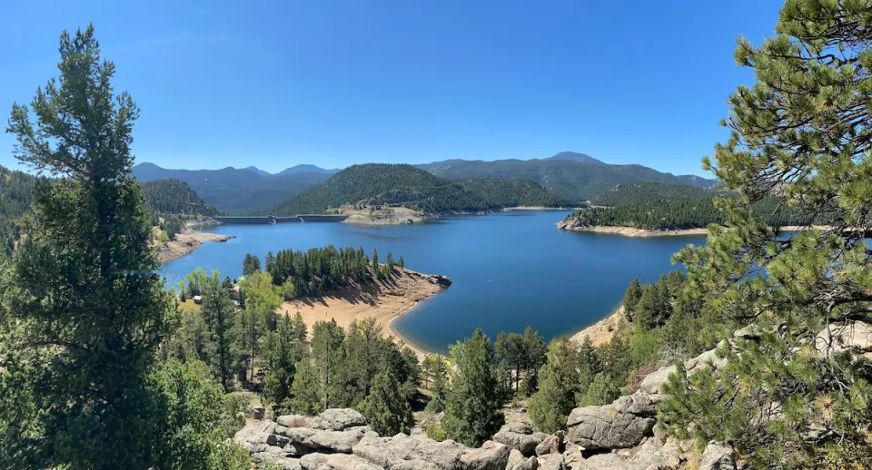
Judges permit Denver to divert 77,000 acre feet from the Colorado River for reservoir expansion
Overuse and climate change have caused the Colorado River’s water levels to plummet.
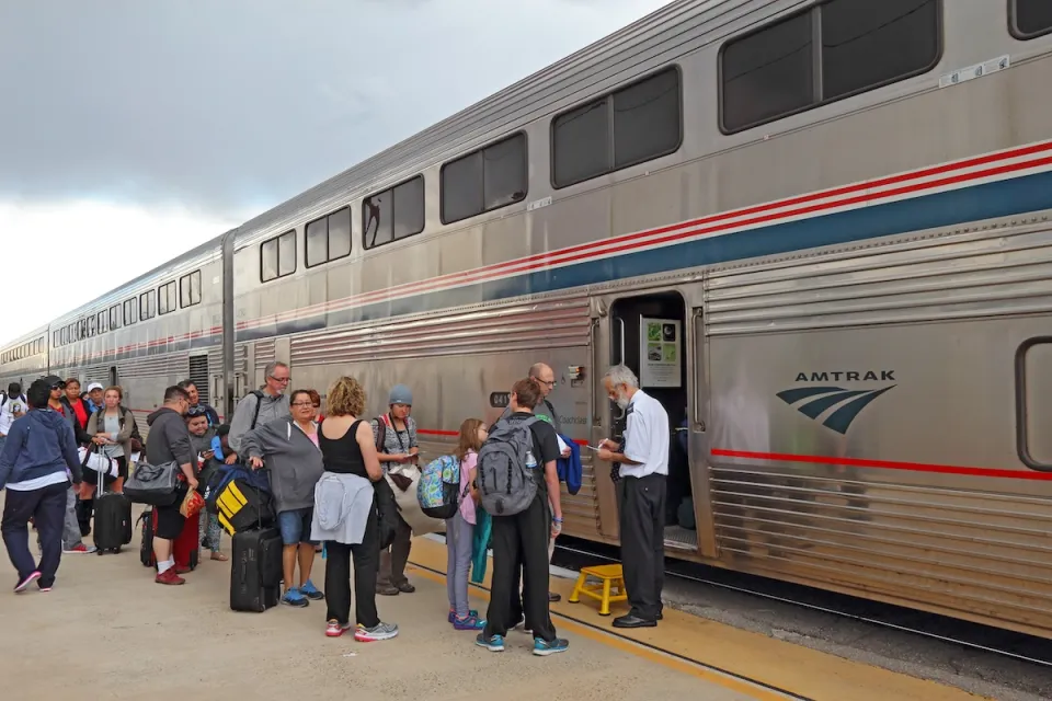
Amtrak, CN end decades-long dispute with eight-year agreement
The new operating agreement establishes an updated framework for the companies to work together, including processes to resolve disputes.

FREE Course: Walkable City 1: Why Walkability?
After describing his path towards focusing on walkability as the essence of good planning, Jeff Speck marches through his five principal reasons for making more walkable places.
Reinventing Malls: Planning Alchemy—Turning Gray Fields Into Gold
The course focuses on the opportunities and imperatives that shape reinvention of mall sites.

KFH Group Inc.
Greater Baltimore Committee
Eagle County Government
The Architects Foundation
University of Cincinnati Online
The Pocatello Development Authority
The Urban Renewal Agency of the City of Pocatello