An effort to use geospatial analysis to understand how housing and access to opportunity are distributed in Oregon cities has largely stalled.



Despite the existence of multiple state laws aimed at affirmatively furthering fair housing and addressing housing needs, few Oregon municipalities are mapping their city's resources and neighborhoods. According to an article by Jennifer Bragar and John Miller in Shelterforce, such maps can bring to light patterns of segregation, discrimination and disinvestment, but few municipalities are creating them.
According to the authors, "When they do so, [cities] can use that knowledge to create specific strategies, such as expanding middle housing, inclusionary zoning, and targeted rezoning to minimize gentrification and increase access to opportunity."
For the authors, the message is clear: the state should mandate geospatial analysis as part of its housing strategy. "Where those maps exist, discrimination becomes visible—and visible discrimination demands a response. Where they don’t, inequality can continue undisturbed beneath a veneer of compliance."
Read the full story: See No Evil: Oregon Retreats on Affirmatively Furthering Fair Housing Initiative

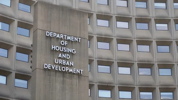
HUD Whistleblowers: Agency is ‘Systematically Undermining’ Fair Housing Laws
HUD employees say the agency has decimated the Office of Fair Housing, reducing staff by 70 percent, and forced a gag order that prevents them from effectively enforcing fair housing and civil rights laws.

LGBTQ+ Elders Face Compounded Challenges in Accessing Fair and Equitable Housing
Lessons for building affirming, inclusive, and trauma-informed housing developments for older LGBTQ+ adults.

How HUD is dismantling fair housing enforcement
Fair housing law has never been easy to enforce. But HUD's proposal to eliminate the use of disparate impact analysis will remove another crucial tool for doing so.

Planetizen Federal Action Tracker
A weekly monitor of how Trump’s orders and actions are impacting planners and planning in America.

Chicago breaks ground on $3 billion megadevelopment
The new neighborhood, titled Foundry Park, will one day host 3,700 residences.
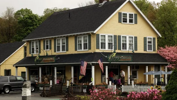
This MA town is drowning in its own sewage — and residents like it that way
Susan Murcott, a waste water expert, said if Carlisle didn't address their leaking sewage, the problem could turn “deadly.”

Iowa taxpayers are paying thousands to clean manure out of their water
While the Clean Water Act makes states responsible for regulating factory farms that discharge pollutants, Iowa has turned a blind eye to the polluting farms.

Amtrak cuts ribbon on Seattle Airo maintenance facility
The $250 million, nearly 100,000-square-foot building can house an entire Cascades Airo trainset.

To power data centers, Google seeks autonomous control of thousands of homes’ electricity
The tech company has signed a deal to indirectly pay Mid-Atlantic residents to reduce their power demand when the grid is strained.

FREE Course: Walkable City 1: Why Walkability?
After describing his path towards focusing on walkability as the essence of good planning, Jeff Speck marches through his five principal reasons for making more walkable places.
Reinventing Malls: Planning Alchemy—Turning Gray Fields Into Gold
The course focuses on the opportunities and imperatives that shape reinvention of mall sites.

City of Rosemead
Rutgers University, Edward J. Bloustein School of Planning and Public Policy
One Hundred Miles
The Architects Foundation
University of Cincinnati Online
Montrose County
The Pocatello Development Authority
The Urban Renewal Agency of the City of Pocatello