Layering tree data, heat risk and demographics information is helping the city implement its Climate Equity Plan.


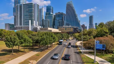
The city of Austin is using Google Earth satellite data paired with machine learning tools to identify gaps in its tree canopy and prioritize the most vulnerable neighborhoods in need of shade.
As Robyn Griggs Lawrence explains in Smart Cities Dive, "The city’s Climate Action and Resilience department is layering heat severity and demographics data onto Google’s Environmental Insights Explorer geospatial data to identify urban heat islands and test 'cool corridors' that combine tree planting with cool pavements and bus shelters."
The city's Climate Equity Plan calls for achieving 50% tree cover by 2050. Its tree canopy is currently at around 41%. According to Alan Halter, a senior IT geospatial analyst for Austin Climate Action and Resilience, the city's strategy focuses on the equitable distribution of new trees. "Three out of every five trees distributed through programs like NeighborWoods must go to high-priority, low-canopy neighborhoods. This ensures that our resources are helping the communities that need shade and cooling the most."
FULL STORY: Who gets shade first? Austin, Texas, uses Google Earth data to decide.

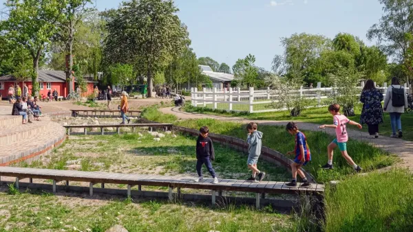
Copenhagen is losing its cool
In a city long designed to maximize light during dark Scandinavian winters, climate change is forcing the Danish capital to rethink its relationship with the sun.
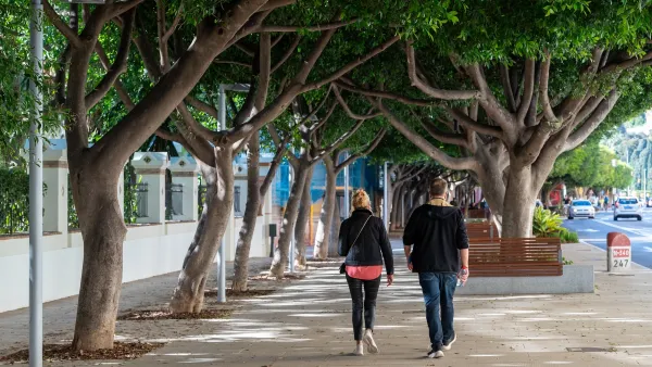
Green blocks are up to 4 degrees cooler than treeless streets
The difference in temperature created by urban trees can translate to as much as 40% less excess heat.
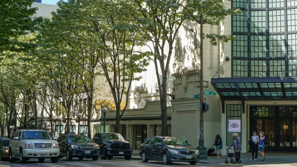
Washington Urban Forestry Program Faces 'Existential' Budget Cut
A proposed budget eliminates funding for a key urban forestry program that funds greening efforts across the state.

The state-sanctioned urbicide of Austin
People don’t kill cities. Freeways do.

US to reduce Colorado River water deliveries to Mexico
A new Colorado Treaty amendment reduces Mexico’s Colorado River water allocation by 250,000 acre feet.

New Jersey’s second-largest city bans standalone data centers
Jersey City will continue to allow co-location facilities, such as those meant for research institutions that store their own data.

Amtrak not solely to blame for New Jersey commuter rail's unreliability, report finds
A new study from the Garden State Initiative found that NJ Transit’s budget grew 20% across a 4 year period, but reliability declined significantly over the same period.

EPA erases limits on planet-warming pollution from power plants
Under Monday’s plan, power plants would still have some limits on how much mercury, arsenic and other contaminants they can emit.

Phoenix announces new on-demand transit service, more frequent RAPID buses
Both new services will launch in October, and are part of Phoenix's Project Effective Access Solutions for Easing Congestion.

FREE Course: Walkable City 1: Why Walkability?
After describing his path towards focusing on walkability as the essence of good planning, Jeff Speck marches through his five principal reasons for making more walkable places.
Reinventing Malls: Planning Alchemy—Turning Gray Fields Into Gold
The course focuses on the opportunities and imperatives that shape reinvention of mall sites.

Eagle County Government
Harvard University Graduate School of Design
Nashville Planning Department
The Architects Foundation
University of Cincinnati Online
The Pocatello Development Authority
The Urban Renewal Agency of the City of Pocatello
Journal of the American Planning Association