Satellite data reveals that the Colorado River’s groundwater has decreased dramatically since the start of the century.


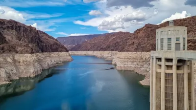
NASA satellites show that groundwater around the Colorado River is decreasing at an unsustainable pace, writes James Acker in Earth Data.
While it’s easy to notice dropping water levels in the river’s above-ground reservoirs, measuring groundwater loss is more difficult. “However, the loss in volume can be detected by satellites in space. By measuring the change in the force of gravity in the region caused by the decreased amount of water in the reservoirs and aquifers, researchers can estimate the volume of water removed.”
A recent study found that the Colorado’s reservoirs and aquifers combined lost a total of 52 cubic kilometers of water since 2002. Groundwater loss made up 65 percent of that total. According to Acker, “Such a loss is not sustainable, and the risk of running out of freshwater is potentially serious.”
The satellite data is verified with the he North American Land Data Assimilation System (NLDAS). Acker adds, “The results of this research are significant for resource managers in the region to consider, particularly for agricultural interests and communities, including Native American tribal lands.”
Read the full story: NASA Satellite Data Show Decrease in Colorado River Basin Aquifers

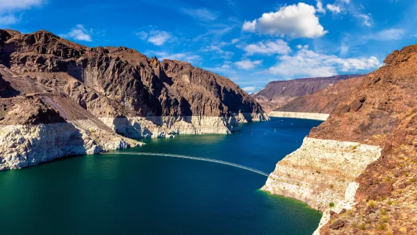
Deadline Nears for Colorado River Water Sharing Agreement
Water officials from the seven Colorado River Basin states are still at odds over how to manage dwindling water resources as current regulations are set to expire in February.
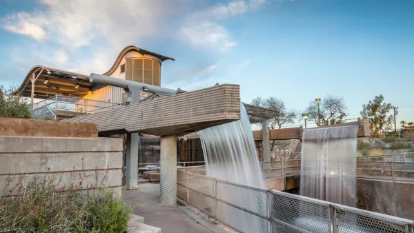
Arizona prepares to tap into emergency water supply as it braces for Colorado River cuts
The Salt River Project has been collecting nearly 4 million acre-feet of water since the mid-1990s.
Phoenix and Tucson create emergency water reserve, anticipating Colorado River cuts
The Secure Water Arizona Program will allow participating cities to use a reserve of water or make agreements to buy it from other jurisdictions.

Planetizen Federal Action Tracker
A weekly monitor of how Trump’s orders and actions are impacting planners and planning in America.

California plans to bury El Niño’s downpour
If the state plays its cards right, it may be able to store a billion acre-feet of El Niño’s water in aquifers.

Desperate measures: Advocates weigh draining Lake Powell to fill Colorado River
Draining the reservoir could reduce evaporation losses by a couple hundred thousand acre-feet.

In Texas, data centers are swallowing promised parkland
Residents who moved to Taylor, Texas for a rural community now have to contend with three data centers in their backyard.

How a Chicago-sized wind farm beat the odds and powered on
The project spanned five presidential administrations and a standoff with a U.S. military base.

MTA gives itself 30 days to transform pit into basketball court
The site has been under construction since 2022; the city originally estimated it would finish the court in 2024.

FREE Course: Walkable City 1: Why Walkability?
After describing his path towards focusing on walkability as the essence of good planning, Jeff Speck marches through his five principal reasons for making more walkable places.
Reinventing Malls: Planning Alchemy—Turning Gray Fields Into Gold
The course focuses on the opportunities and imperatives that shape reinvention of mall sites.

City of Rosemead
Rutgers University, Edward J. Bloustein School of Planning and Public Policy
One Hundred Miles
Hunter College, City University of New York (CUNY)
The Architects Foundation
University of Cincinnati Online
City of Cambridge
Montrose County
The Pocatello Development Authority