A new digital platform is aimed at helping agencies better understand the city’s underground assets and more effectively plan projects.


New York City is launching a $10 million 3D digital platform that will map the city’s subterranean infrastructure to better help agencies and utilities work together.
According to an article in Smart Cities World, “3DUnderground (3DU) will help government agencies and utility companies securely share and access information about what lies below New Yorkers’ feet, such as water and sewer pipes, gas lines, electrical conduits, fiber optic cables, and soil composition.”
City officials say the platform will enhance the city’s ability to respond to emergencies, identify and assess threats, and more effectively plan projects. “The New York City Office of Technology and Innovation will create a comprehensive map of the city’s soil by digitising geotechnical reports already submitted to the New York City Department of Buildings and partnering with Columbia University to estimate what the soil is like in areas without direct data.”
The project is funded by a U.S. Housing and Urban Development Community Development Block Grant for Disaster Recovery and is expected to launch in early 2028.
Read the full story: New York City launches $10m 3D underground data platform

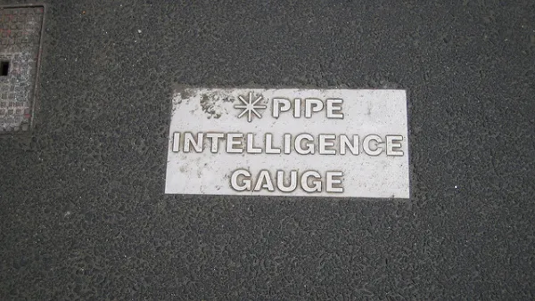
It's Time to Map and Share Data on Underground Infrastructure
A call for cities like New York to accurately map, model, and share information on underground water and utility infrastructure for public benefit.
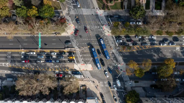
This road in NYC is infamously dangerous — and Mamdani can't fix it
New York City's Ocean Parkway is known for reckless driving, but the power to implement safety measures lies with the state rather than the city.
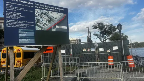
Ballooning costs delay NYC green space restoration after six years of planning
“There’s a stark inequity in how the city prioritizes infrastructure projects across different Manhattan neighborhoods," said Maria Kessler, executive director for Friends of the East River Esplanade. “Why is this neighborhood the last and unserved?”

Planetizen Federal Action Tracker
A weekly monitor of how Trump’s orders and actions are impacting planners and planning in America.

California plans to bury El Niño’s downpour
If the state plays its cards right, it may be able to store a billion acre-feet of El Niño’s water in aquifers.

Chicago breaks ground on $3 billion megadevelopment
The new neighborhood, titled Foundry Park, will one day host 3,700 residences.

Satanic place names
From streams and lakes to valleys and canyons, I mapped more than 1,000 places named after the Devil.

California High-Speed Rail Authority CEO resigns after $600,000 scandal
Under Ian Choudri, the authority used taxpayer dollars to fund first class flights and trips to nightclubs.

Want to study the Missouri River? Soon, you may need unanimous approval from 10 states
Legislation would require 10 governors’ permission to study or build projects moving water outside the basin.

FREE Course: Walkable City 1: Why Walkability?
After describing his path towards focusing on walkability as the essence of good planning, Jeff Speck marches through his five principal reasons for making more walkable places.
Reinventing Malls: Planning Alchemy—Turning Gray Fields Into Gold
The course focuses on the opportunities and imperatives that shape reinvention of mall sites.

City of Rosemead
Rutgers University, Edward J. Bloustein School of Planning and Public Policy
One Hundred Miles
Hunter College, City University of New York (CUNY)
The Architects Foundation
University of Cincinnati Online
City of Cambridge
Montrose County
The Pocatello Development Authority