Gridlocked traffic, rising emissions and the need to keep people safe while maintaining data privacy all demand smarter solutions. As recognized experts in maps and traffic data, TomTom helps governments and city planners keep their communities moving and protected.


| PAID POST |
As cities grow fast, so do the challenges that accompany that growth. Gridlocked traffic, rising emissions and the need to keep people safe while maintaining data privacy all demand smarter solutions.
Known worldwide for its expertise in maps and traffic data, TomTom helps governments and city planners keep their communities moving and protected. Whether you’re managing a small town’s roads or a national transport network, TomTom’s location intelligence gives you the clear, reliable picture you need to plan ahead and act quickly.
Keeping traffic flowing
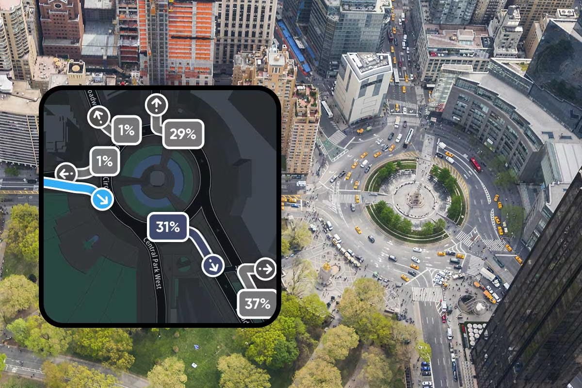
As roads get busier, cities all over the world must constantly manage traffic to allow vehicles and people to move freely. Using TomTom’s detailed map data and live traffic insights, planners can see exactly how roads are used, pinpoint problem areas and make changes that cut commute times and pollution. TomTom’s Junction Analytics, for example, shows how vehicles move through intersections so traffic lights can be timed to reduce jams and emissions — making travel safer and more efficient for everyone.
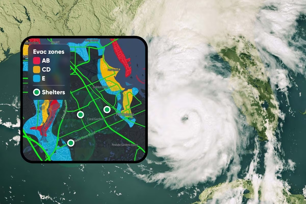
Recent happenings — the earthquakes in Turkey, the floods in Spain — have also underlined the importance of smarter mobility. During emergency situations, it is essential to know which roads are open and where help is needed. TomTom’s real-time traffic information helps emergency crews find the fastest routes, locate temporary medical centers and adapt to changing conditions on the ground. Tools like Traffic Incidents and Hazard Warnings deliver up-to-the-minute awareness of accidents or closures so responders can move without delay.
Improving disaster response
When it comes to disasters, preparation is just as important as response. With Traffic Stats and Historical Traffic Volumes, cities can study long-term trends, plan new infrastructure and strengthen their defenses against future crises. Fusing trillions of GPS data points with advanced analytics, TomTom's actionable mobility metrics give authorities the insights they need to build resilient, well-prepared communities.
Building safe spaces for everyone
TomTom’s accurate geospatial data also supports defense and security agencies. From strategic planning to real-time operations, precise location information helps organizations stay aware of changing situations and make smarter decisions.
Better routing and reliable traffic data don’t just improve travel times. They also help governments cut costs — by as much as 35 percent — while lowering CO₂ emissions and easing congestion.
As urban areas continue to grow, the need for trustworthy, real-time location data will only become more urgent. TomTom’s technology is already helping cities around the world reduce congestion, respond to crises and plan for a sustainable future.
Smarter cities aren’t just a vision for tomorrow. See how TomTom can help build cities — safer, cleaner and ready for whatever comes next.


Planetizen Federal Action Tracker
A weekly monitor of how Trump’s orders and actions are impacting planners and planning in America.

‘Going backwards:’ Baltimore mayor, students rally against state's transit funding plan
Maryland's proposed six-year plan provides no funding for Baltimore’s BMORE bus program and reduces its road maintenance funding.

Detroit to transform waterfront with $2.2 billion investment
Developers will convert about 18 acres of unused parking lot space into civic spaces.

After $600,000 wasted, CA high-speed rail board limits CEO’s power
Ian Choudri will no longer be able to sign, change or manage contracts.

Lithium mines leech water from surrounding communities. Soon, they’ll run dry
Researchers concluded that most lithium mines won't have enough water to meet industry demands by 2050.

El Niño takes lives, infrastructure as U.S. storm systems prove ill-prepared
About two-thirds of America's culverts are in states with outdated design standards.

FREE Course: Walkable City 1: Why Walkability?
After describing his path towards focusing on walkability as the essence of good planning, Jeff Speck marches through his five principal reasons for making more walkable places.
Reinventing Malls: Planning Alchemy—Turning Gray Fields Into Gold
The course focuses on the opportunities and imperatives that shape reinvention of mall sites.

One Hundred Miles
County of Mendocino
planning NEXT
The Architects Foundation
University of Cincinnati Online
Montrose County
Northern Illinois Transit Authority (NITA)
The Pocatello Development Authority

