The National Institute for Transportation and Communities released a new study this week called "Lessons from the Green Lanes: Evaluating Protected Bike Lanes in the U.S."


According to the study's abstract, "few U.S. cities have direct experiences with [protected bike lanes'] design and operations, in part because of the limited design guidance provided in the past," but preliminary research suggests that protected bike lanes can increase the number of bikers. "This research evaluates protected bike lanes in five distinct contexts varying in population, driving and cycling rates and cultures, and weather: Austin, Texas; Chicago, Illinois; Portland, Oregon; San Francisco, California; and, Washington, District of Columbia."
Michael Andersen provides analysis of the study on the People for Bikes website, noting specifically (with a lot of helpful detail) three things protected bike lanes don't do, namely:
- They can't rapidly boost citywide bike ridership without a network.
- They can't always separate bikes and cars completely.
- They can't be created without at least a little opposition.
The study was led by Christopher Monsere and a team of researchers from Portland State University.
Read the full story: Lessons from the Green Lanes: Evaluating Protected Bike Lanes in the U.S.

America's Best Bike Cities
With gas prices at an all time high, bike riding has never looked better. Shermans Travel identifies the top cities to bike through, noting a bounty of amenities to save on costs for the urban biker.
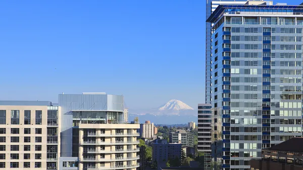
2020 Population Growth Rates for the 50 Biggest U.S. Cities
The Census Bureau released new data on May 27 that includes the first four months of the pandemic. Seattle tops the growth rate at 2.2% from July 1, 2019, to July 1, 2020, while Baltimore and San Francisco land at the bottom with -1.4%.
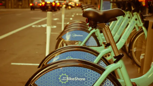
Bike Share Lessons From the Pandemic
Bike share data from six U.S. cities offer insight into how Americans have changed travel patterns during the pandemic.

Planetizen Federal Action Tracker
A weekly monitor of how Trump’s orders and actions are impacting planners and planning in America.

California plans to bury El Niño’s downpour
If the state plays its cards right, it may be able to store a billion acre-feet of El Niño’s water in aquifers.

Chicago breaks ground on $3 billion megadevelopment
The new neighborhood, titled Foundry Park, will one day host 3,700 residences.

Desperate measures: Advocates weigh draining Lake Powell to fill Colorado River
Draining the reservoir could reduce evaporation losses by a couple hundred thousand acre-feet.

This road in NYC is infamously dangerous — and Mamdani can't fix it
New York City's Ocean Parkway is known for reckless driving, but the power to implement safety measures lies with the state rather than the city.

One of Denver’s busiest corridors to gain BRT
The project will span 18 miles and contain 74 bus rapid transit stations.

FREE Course: Walkable City 1: Why Walkability?
After describing his path towards focusing on walkability as the essence of good planning, Jeff Speck marches through his five principal reasons for making more walkable places.
Reinventing Malls: Planning Alchemy—Turning Gray Fields Into Gold
The course focuses on the opportunities and imperatives that shape reinvention of mall sites.

City of Rosemead
Rutgers University, Edward J. Bloustein School of Planning and Public Policy
One Hundred Miles
Hunter College, City University of New York (CUNY)
The Architects Foundation
University of Cincinnati Online
City of Cambridge
Montrose County
The Pocatello Development Authority