


A picture's worth a thousand plans - at least when it's a "photo-realistic visualization." Designer Steve Price's detailed 3D flash animations show towns what empty streetscapes and drab buildings could look like with a little bit of planning.
Price's firm, Urban Architecture, uses Photoshop and other design tools to craft realistic images showing what proposed designs and plans would actually look like on the ground. From Miami to Virginia and all across the country, these visualizations have helped planning boards, city councils and everyday citizens understand what change could actually look like before it happens and make decisions that they'll be proud to live with.
No project comes out exactly as planned, or exactly as Price depicts it, but he stresses the importance of giving people new ways of envisioning their futures.
"Everybody kind of nods and agrees and knits their brows as they listen to statistics and information about economic development," Price said. "Then they see the pictures, and that's when the smiles occur. And the 'oohs' and 'ahs.' There are two hemispheres of the brain, and it's almost like two different people in everybody's head, and they respond to the world in very different ways."
FULL STORY: Digital Designer Shows What Future Towns Could Look Like

Op-Ed: What Can Be Done About Toronto's Drabness?
After decades of "just-good-enough when it comes to design," now may be the time for Toronto to take steps to upgrade its aesthetics.

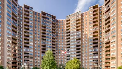
Rise of the Instagram City
Cities have become obsessed with going viral.
Visualizing Water in the Landscape
Water shortages are on the rise, and effective management of this dwindling resource is becoming increasingly important to cities. How architects and planners visualize water in the landscape plays a big role in how it is understood and managed.

Planetizen Federal Action Tracker
A weekly monitor of how Trump’s orders and actions are impacting planners and planning in America.

Restaurant Patios Were a Pandemic Win — Why Were They so Hard to Keep?
Social distancing requirements and changes in travel patterns prompted cities to pilot new uses for street and sidewalk space. Then it got complicated.

Maui's Vacation Rental Debate Turns Ugly
Verbal attacks, misinformation campaigns and fistfights plague a high-stakes debate to convert thousands of vacation rentals into long-term housing.

Boulder Eliminates Parking Minimums Citywide
Officials estimate the cost of building a single underground parking space at up to $100,000.

Orange County, Florida Adopts Largest US “Sprawl Repair” Code
The ‘Orange Code’ seeks to rectify decades of sprawl-inducing, car-oriented development.

Maui's Vacation Rental Debate Turns Ugly
Verbal attacks, misinformation campaigns and fistfights plague a high-stakes debate to convert thousands of vacation rentals into long-term housing.
Urban Design for Planners 1: Software Tools
This six-course series explores essential urban design concepts using open source software and equips planners with the tools they need to participate fully in the urban design process.
Planning for Universal Design
Learn the tools for implementing Universal Design in planning regulations.
Heyer Gruel & Associates PA
JM Goldson LLC
Custer County Colorado
City of Camden Redevelopment Agency
City of Astoria
Transportation Research & Education Center (TREC) at Portland State University
Camden Redevelopment Agency
City of Claremont
Municipality of Princeton (NJ)