You Are Here
Mapping Income Inequality on D.C.'s Metro Lines
MIT's You Are Here mapping and data visualization project has produced a map of income levels, as tracked by the routes of the Metro subway system in Washington D.C.
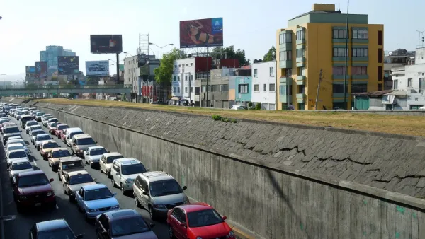
Why and Where Driving is a Rational Choice
A recently released tool for analyzing the efficiency of travel modes in cities around the country reveals that driving is almost always a better choice—at least in travel time—than transit.
New Maps Compare Travel Times by Mode
Want to know the fastest way to get where you're going? You Are Here has created a new visualization tool that shows you the fastest mode for your trip in 11 cities.
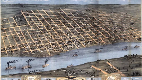
Friday Eye Candy: 'You Are Here' Maps the Little Things
The Social Computing Group and the MIT Media Lab have launched the "You Are Here" project, mapping data points from cities where participants have lived. The project has colorful maps of bicycle crashes, coffee shops, and permanent visa applications.

FREE Course: Walkable City 1: Why Walkability?
After describing his path towards focusing on walkability as the essence of good planning, Jeff Speck marches through his five principal reasons for making more walkable places.
Reinventing Malls: Planning Alchemy—Turning Gray Fields Into Gold
The course focuses on the opportunities and imperatives that shape reinvention of mall sites.

City of Rosemead
Rutgers University, Edward J. Bloustein School of Planning and Public Policy
One Hundred Miles
University of Michigan School for Environment and Sustainability (SEAS)
Hunter College, City University of New York (CUNY)
The Architects Foundation
City of Cambridge
The Pocatello Development Authority
The Urban Renewal Agency of the City of Pocatello