Los Angeles County Planner Clement Lau describes how Instagram, the increasingly popular photo-sharing social media app., has become a valuable addition to his quiver of planning tools.


Dr. Clement Lau, a Los Angeles County Planner who has previously written about the use of smart phone apps to assist planners, writes about another app he has recently added to his planning tool quiver: Instagram.
"As just about everyone knows, Instagram is a free photo-sharing program and social network. Launched in October 2010, the service enables an individual to take a photo, apply a digital filter to it, and then share it with other users."
"You may be wondering, what is the connection between Instagram and city planning?" asks Lau. The application can "[capture] our imaginations with a vast array of images, helping us to visualize what is possible, and then doing what is necessary to bring forth positive changes to our communities."
"Photos are particularly effective as part of an image preference survey designed to elicit feedback on the kinds of development people hope to encourage or discourage," he notes. "Planning officials find survey results helpful in developing design standards that reflect community preferences. One may even think of Instagram as one big image preference survey given that it contains a large repository of photos, and allows users to like and comment on photos."
"Images are critical to city planning. We cannot plan and implement creative ideas to improve our communities without first seeing what has been done and considering what can be done."
FULL STORY: Images, Instagram, and City Planning

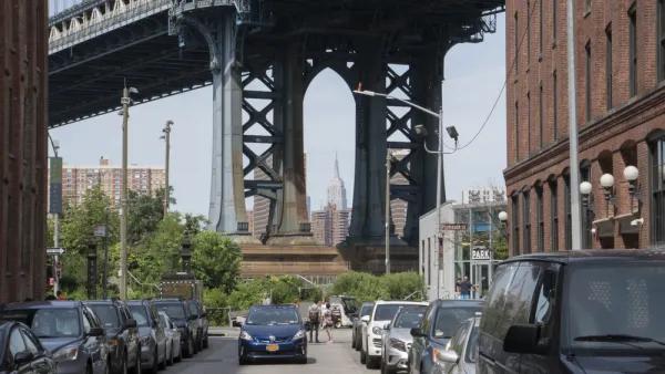
‘Instagrammed to Death’ or a Return to Pre-Pandemic Normal?
Familiar controversies might seem reassuring in 2022.
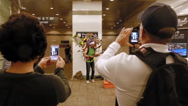
Friday Eye Candy: The Theatricality of the Subway
A new book of photography amplifies what was already there.
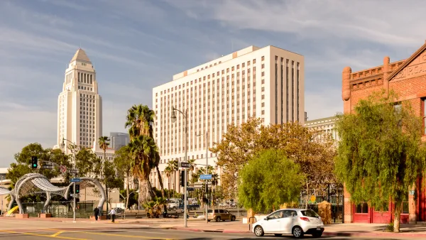
Keeping Bees Away from Honey? Corruption Cases Expose Flaws in L.A. City’s Land Entitlement Process
Three former Los Angeles public officials share their collective perspective on how best to reform the city of Los Angeles' corrupted land use approval process.

Planetizen Federal Action Tracker
A weekly monitor of how Trump’s orders and actions are impacting planners and planning in America.

The state-sanctioned urbicide of Austin
People don’t kill cities. Freeways do.

US to reduce Colorado River water deliveries to Mexico
A new Colorado Treaty amendment reduces Mexico’s Colorado River water allocation by 250,000 acre feet.

5 New England states march closer to 800 megawatt wind energy project
Securing federal approval for the project may be complicated under the Trump administration, which has historically been hostile towards domestic wind power.

Baltimore to break ground on $50 million Transit Priority Project
The project will bring faster bus trips, safer streets and better bike connections to Baltimore.

Airbnb launches $250 million 'last-dollar financing' housing accelerator, makes first investment in Austin
The company will put $6.4 million towards affordable housing development in Texas’ capital.

FREE Course: Walkable City 1: Why Walkability?
After describing his path towards focusing on walkability as the essence of good planning, Jeff Speck marches through his five principal reasons for making more walkable places.
Reinventing Malls: Planning Alchemy—Turning Gray Fields Into Gold
The course focuses on the opportunities and imperatives that shape reinvention of mall sites.

Eagle County Government
Harvard University Graduate School of Design
Nashville Planning Department
The Architects Foundation
University of Cincinnati Online
The Pocatello Development Authority
The Urban Renewal Agency of the City of Pocatello
Journal of the American Planning Association