Anthony Paletta takes a look at a new book by Elihu Rubin, chronicling the intriguing political history behind the construction of Boston's Prudential Center in the mid-1950s.


The course of urban development in America, Paletta argues, has long been shaped by an overbearing love affair between "the highway engineer and the forward-thinking corporation" – much to the peril of those who use and occupy the city. Elihu Rubin presents a rare case wherein that romance ultimately served to strengthen city spaces in his new book, Insuring the City: The Prudential Center and the Postwar Urban Landscape.
During a period drunk with the symbolic power of the skyscraper, just as the second half of the century was beginning to unfold, Prudential was on the hunt for a site for its New England Regional headquarters. But once Prudential set its sights on Boston's Back Bay rail yard, it fell into contention with the Massachusetts Turnpike Authority, which envisioned an extension of the turnpike running "squarely through the rail yard site." City officials rushed to bring the two visions together, and after a rather painless compromise and a hard-won tax exemption for Prudential, its new signature tower was born.
"The Pru was not by anyone's lights an unqualified triumph," Rubin notes. "As time went on, they were eventually addressed by an extensive reexamination and refurbishment of the project; indeed, these revisions have continued into the 21st century. One indicator of the Pru's success over the long run, however, has been its demonstrated malleability. Designed as an enclave, with its ring road holding back the surrounding city and its podium resting on three layers of parking garages, recent alterations and additions have transformed the Prudential Center from an urban island into what is intended to be a piece of connective urban tissue."
Read the full story: Bright Solutions from the Dark Age of Urban Planning
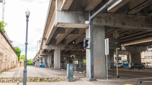
Report: Land Under US Highways Could Earn Over $5 Billion in Property Taxes Yearly
An analysis of 142 U.S. cities reveals the economic potential of land used for highways.
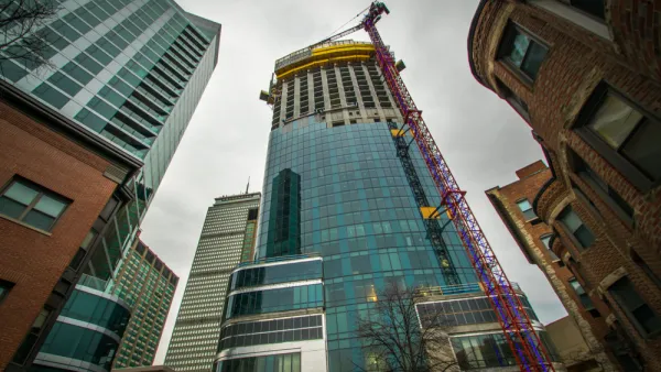
Design Review: Boston's Posh New High Rise
One Dalton Street, the third tallest building in Boston, is almost complete.
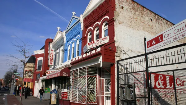
Containing the Impacts of Gentrification for Long-Time Homeowners
Given the unprecedented nature of the gentrification occurring in American cities, many cities have had to respond swiftly to the pressures of changing neighborhoods. A new article surveys cities using property tax relief to support urban homeowners.

Planetizen Federal Action Tracker
A weekly monitor of how Trump’s orders and actions are impacting planners and planning in America.
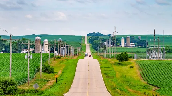
Eastern Nebraska is running out of electricity
Data centers and electrification are straining eastern Nebraska’s grid, throttling economic development.
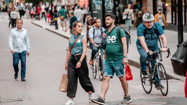
Study reveals best places in the U.S. for cycling, walking
New research from Streetlight Data examines bicycle and pedestrian miles per capita in the 100 largest U.S. cities by population.

DSA members accuse Mamdani of 'abandoning values' over housing redevelopment
New York City's mayor plans to replace about 2,000 units of public housing with private, mixed-income housing.

All sides of BRT debate unhappy with CDOT’s most recent move
The Colorado Department of Transportation is no longer considering center-running bus lanes for Colorado Boulevard.

Massachusetts bogs generate both power, and cranberries
Putting solar panels above farmland is one way Massachusetts is advancing toward its goal of net-zero carbon emissions by 2050.

FREE Course: Walkable City 1: Why Walkability?
After describing his path towards focusing on walkability as the essence of good planning, Jeff Speck marches through his five principal reasons for making more walkable places.
Reinventing Malls: Planning Alchemy—Turning Gray Fields Into Gold
The course focuses on the opportunities and imperatives that shape reinvention of mall sites.

City of Rosemead
Rutgers University, Edward J. Bloustein School of Planning and Public Policy
One Hundred Miles
University of Michigan School for Environment and Sustainability (SEAS)
Hunter College, City University of New York (CUNY)
The Architects Foundation
City of Cambridge
The Pocatello Development Authority
The Urban Renewal Agency of the City of Pocatello