Scientists and officials in California map open space corridors that are critical for protecting wildlife in the state.


"For many years, conservation biologists have debated whether wildlife corridors are effective in linking habitats and protecting animals. While some scientists remain skeptical, the debate has steadily turned in recent years to how best to design wildlife corridors, according to the researchers who advocate their use. The California effort is the latest and most ambitious example."
Thanks to Abhijeet Chavan
Read the full story: California Maps Network of Open Space as Animal Lifeline

Planetizen Federal Action Tracker
A weekly monitor of how Trump’s orders and actions are impacting planners and planning in America.
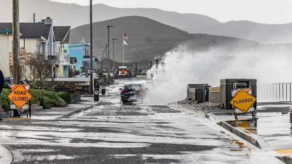
California plans to bury El Niño’s downpour
If the state plays its cards right, it may be able to store a billion acre-feet of El Niño’s water in aquifers.
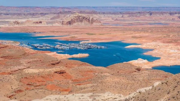
Desperate measures: Advocates weigh draining Lake Powell to fill Colorado River
Draining the reservoir could reduce evaporation losses by a couple hundred thousand acre-feet.

Los Angeles just elected an urban planner as its mayor
Transportation analysts are optimistic that Raman will be more aggressive in addressing transit issues than Bass.

Mamdani’s pied-à-terre tax survives legal challenge
A panel of judges found that the plaintiffs failed to demonstrate injury as a result of New York City's implementation of the tax.

Eastern Nebraska is running out of electricity
Data centers and electrification are straining eastern Nebraska’s grid, throttling economic development.

FREE Course: Walkable City 1: Why Walkability?
After describing his path towards focusing on walkability as the essence of good planning, Jeff Speck marches through his five principal reasons for making more walkable places.
Reinventing Malls: Planning Alchemy—Turning Gray Fields Into Gold
The course focuses on the opportunities and imperatives that shape reinvention of mall sites.

City of Rosemead
Rutgers University, Edward J. Bloustein School of Planning and Public Policy
One Hundred Miles
University of Michigan School for Environment and Sustainability (SEAS)
Hunter College, City University of New York (CUNY)
The Architects Foundation
City of Cambridge
Montrose County
The Pocatello Development Authority