The proposed xTx route would safely allow hikers, bikers, and equestrians to cross the entire state from the Louisiana border to El Paso.


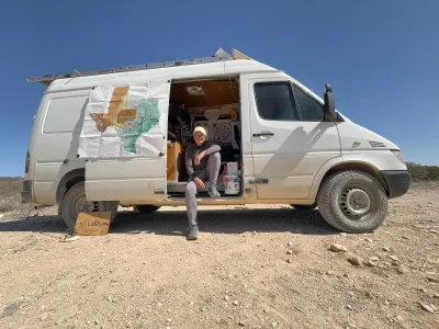
A proposed 1,500-mile trail that would stretch east to west across Texas is in the works, but will require the buy-in of hundreds of landowners and communities.
In a piece for The Daily Yonder, Madeline de Figueiredo describes how the team behind the xTx trail — which, in its current incarnation, routes hikers, cyclists, and horse riders along existing public routes — is working to route around unsafe and concerning segments by partnering with private landowners in a state where 96 percent of land is private.
xTx founder Charlie Gandy and executive director Beckie Irvin are developing a map of the proposed route, taking trips across segments to understand what the trail needs to be safe and enjoyable. “Each trip brings new puzzles: how to avoid high-traffic roads, how to reroute around unsafe terrain, and how to forge relationships with landowners, ranchers, and local governments who have mixed feelings about the project.”
Along the way, some communities are stepping up to integrate the trail and position themselves as ‘gateway towns.’ In Bandera, Texas, a town that bills itself as “cowboy capital of the world,” a group of equestrians has proposed creating a day-use public stable to serve equestrians using the trail. But landowners have questions and doubts, too. “Building a trail across private lands requires navigating a complex network of interests. Ranchers, farmers, conservationists, outdoor users, and local governments all view land through different lenses, Irvin said, and the xTx team aims to build trust and connections across those communities.”
Read the full story: A Proposed 1,500-Mile Trail Across Texas Will Take a Village – Or Dozens

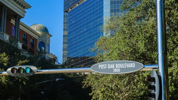
Houston Awarded $18.5M for Trail Linking Uptown and Memorial Park
The grant will make the freeway-bounded park more accessible to pedestrians and cyclists.
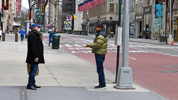
New Density Control Measure to Close Some New York Streets to Cars
To encourage recreational walking while practicing social distancing in order to reduce the spread of COVID-19, Gov. Andrew Cuomo asked the New York City mayor and city council speaker to devise a pilot project to provide for open streets.
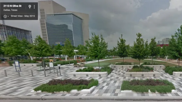
Op-Ed: Tech Can Enhance Parks
In the traditional view, nature and digital technology clash. But for many people, tech can offer ways to better engage with parks.

Planetizen Federal Action Tracker
A weekly monitor of how Trump’s orders and actions are impacting planners and planning in America.

California plans to bury El Niño’s downpour
If the state plays its cards right, it may be able to store a billion acre-feet of El Niño’s water in aquifers.

Chicago breaks ground on $3 billion megadevelopment
The new neighborhood, titled Foundry Park, will one day host 3,700 residences.

City officials are dumping billions of gallons of sewage into the Chicago River
This year, the Racine Avenue sewage pumping station has poured over 10 billion gallons of sewage into the Chicago River.

Move over, LA: St. Louis gears up for Olympics, invests millions in downtown redevelopment
The Missouri city will host the 2028 Olympic soccer group stage and knockout matches.

Satanic place names
From streams and lakes to valleys and canyons, I mapped more than 1,000 places named after the Devil.

FREE Course: Walkable City 1: Why Walkability?
After describing his path towards focusing on walkability as the essence of good planning, Jeff Speck marches through his five principal reasons for making more walkable places.
Reinventing Malls: Planning Alchemy—Turning Gray Fields Into Gold
The course focuses on the opportunities and imperatives that shape reinvention of mall sites.

City of Rosemead
Rutgers University, Edward J. Bloustein School of Planning and Public Policy
One Hundred Miles
Hunter College, City University of New York (CUNY)
The Architects Foundation
University of Cincinnati Online
City of Cambridge
Montrose County
The Pocatello Development Authority