Place speaks before we plan. We need to listen.



Recently, I have focused on understanding how places change and identifying the foundational elements and through-lines specific to a city, neighborhood, or other setting. The clearest form of analysis is not always architectural. Today’s post offers an outline of a place-specific toolkit built on more holistic factors.
But first, a brief, cross-border digression.
Recognition of important, “beyond architecture” place characteristics can occur when two people perceive the same landscape logic from different sides of a geographic boundary.
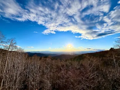
Last month, in a virtual Spanish class, my teacher and I both decided autumn (or otoño) is our favorite season. This choice did not depend on cooler temperatures or specific holidays. It was based on how, in each of our regions, autumn is when the mountains seem deceptively close, because the horizon sharpens amid higher, thinner air. We discussed, in Spanglish, how the late afternoon light rusts amber and orange as winter draws near.
Sofia’s mountains are in northern Mexico near Saltillo; mine are the Sangre de Cristo range north of Santa Fe. They are not in the same place, yet we spoke the same high-altitude vocabulary to describe arid slopes and long shadows.
Independent of land use plans, codes, design review, or trendy acronyms, we shared a sense of place as a kind of inheritance, “leveraging place” in its most elemental form: we found community and affiliation in commonalities from each landscape, without one place imitating another. Perhaps it was a landscape continuity that could only occur at our similar latitudes, within the cultural and ecological corridor where contemporary New Mexico and northern Mexico share similar histories, premised on Spanish conquest. But the landscape continuity I discussed with Sofia is not just a metaphor. It is a working and lived geography.
This same continuity becomes vital for planning practice. It reframes continuity as inheritance rather than appearance. It is rooted in forces that predate — yet help define — contemporary land use policy.
As I have recently argued, leveraging place in Santa Fe is more than an aesthetic task — the built environment reflects other forces more than it serves as a sole source of place definition.
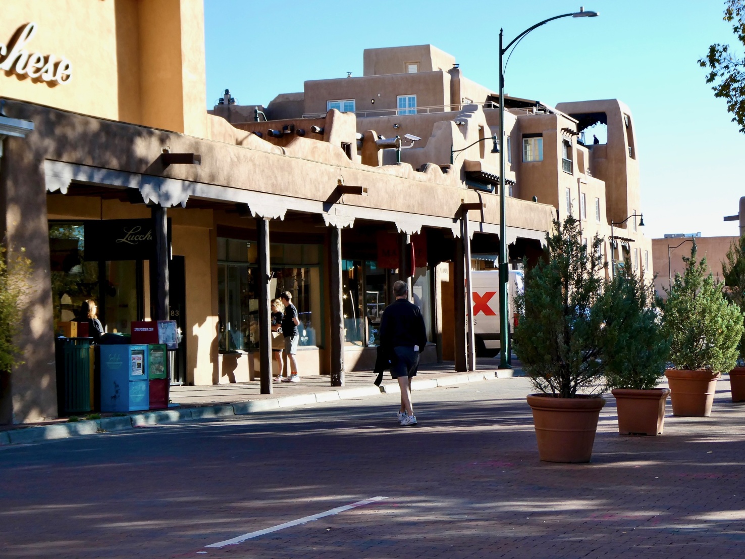
The drivers are multidimensional. If “authenticity” and “character” mean anything in the Santa Fe context, their definitions depend on altitude, light, hydrology, and Indigenous and Hispanic inheritance — merged to display a pattern of ongoing change.
Nearby Galisteo, discussed in my recent Substack post, provides more perspective. The imperfections in Rob King’s clay vessels derive from the land and its raw materials; their “imperfection” is not so much stylistic but an expression through a lineage of shaped and prompted clay.
After living here, I believe urban and landscape character is, in practice, a similar refusal to dissociate origin from form. This is the foundation for a credible planner’s toolkit for leveraging place in New Mexico.
Once seen this way, perhaps the work of planning changes from managing similarity to stewarding the lineage of places.
Compatibility of newer development becomes a question of sensibly adapting rather than the traditional design review process that many see as dictating resemblance.
Maybe the question for reviewing commissions and staff is no longer “Does this proposal match what surrounds it?” Instead, the question from now on looks deeper: “Does this proposal proceed in a fashion loyal to the forces that shaped the underlying and surrounding landscapes?”
From this perspective, a leveraging place toolkit must begin with a focus on the foundation and source rather than the superficial:
- First, understand the underlying place, not just the proposal, because elements of continuity precede design.
- Second, identify what holds a place together before shifting to a compliance mindset.
- Third, avoid mere mimicry and stress lineage and latent relationships.
- Fourth, honor still unfolding shapes rather than configurations mindlessly frozen in time.
These benefits could readily follow:
- Staff planners could gain a defensible basis for interpretation that is not just superficial, subjective, or taste-based.
- Commissions could replace a static and narrow compatibility debate with a more coherent analysis consistent with the overall context.
- Planning and land use directors could move local city planning culture from containment and enforcement to stewardship.
- Communities could find restored trust because the essence of place is honored, rather than an emphasis on abstracted or staged programming based on a myth or a meme.
In conclusion, back to this morning’s digression.
The short Spanish class exchange discussed above was not incidental: It demonstrated that underlying forces and themes of continuity have existed here long before governments recognized the importance of plans and codes.
Mexico and New Mexico not only border each other, but spontaneous conversations across borders can easily resonate after hundreds of years. Much of Santa Fe’s legibility is still based on geographical and cultural inheritances that predate planning. The land — and Rob King’s material components — may have better memories than land use policy and regulation.
Leveraging place requires not only civic ceramics, but also forensic and archeological frames of mind. The task is not always to preserve what was, but to understand and evolve the foundation.
This piece originally ran on Resurgence: A Journey

Children in 55 countries are redesigning their cities in Minecraft
A U.N.-backed program lets students and community members reimagine sites in their neighborhoods in the game — and translate them into real-life buildings.
Off-Street Parking in the Midburbs
In several New Jersey cities, eliminating parking requirements has boosted local businesses.

Planning Communities for Thriving Children
When it comes to children's health and economic success, current trends are dismal. New research identifies how to plan communities where children can thrive. The secret? Compact, mixed-income, multimodal neighborhoods.

Planetizen Federal Action Tracker
A weekly monitor of how Trump’s orders and actions are impacting planners and planning in America.
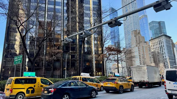
Data reveals that NYC’s bet on congestion pricing has paid off
After almost two years of the program, reports show positive impacts on traffic and air quality and no disruptions to parking.
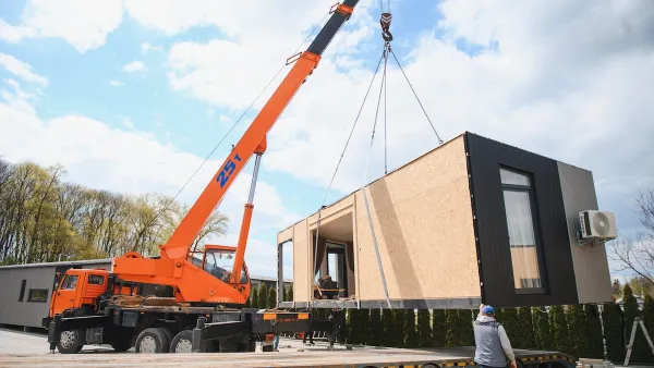
HUD modernizes 50-year-old manufactured housing framework
The Next Generation Manufactured Housing Action Plan establishes new energy-efficiency standards for manufactured homes, and new guidelines for anchoring them.

Florida could lose billions in funding for infrastructure, parks
If Amendment 3 passes, Miami-Dade would lose about $445 million annually by fiscal year 2028-29.

New Mexico spent millions drafting climate goals. Data centers are unraveling them
Three data centers in New Mexico and El Paso will release more emissions yearly than 2 million cars in the same timeframe.

This Ohio town is using AI to speed up transit analysis
The Greater Dayton Regional Transit Authority’s new AI tool correctly determined riders’ preferred ways to reach key commuter routes.

FREE Course: Walkable City 1: Why Walkability?
After describing his path towards focusing on walkability as the essence of good planning, Jeff Speck marches through his five principal reasons for making more walkable places.
Reinventing Malls: Planning Alchemy—Turning Gray Fields Into Gold
The course focuses on the opportunities and imperatives that shape reinvention of mall sites.

Rutgers University, Edward J. Bloustein School of Planning and Public Policy
One Hundred Miles
County of Mendocino
The Architects Foundation
University of Cincinnati Online
Montrose County
Northern Illinois Transit Authority (NITA)
The Pocatello Development Authority

