The city awarded two contracts to move forward plans for a 9-mile mobility corridor adaptable to new transportation technologies and equipped with sensor technology to improve safety and efficiency.


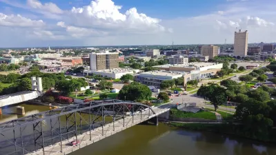
The Waco, Texas city council approved two contracts that will prepare the city for “futuristic mobility technologies,” reports Christopher De Los Santos in Government Technology.
The city is planning a 9-mile mobility corridor that will cross the city and extend into downtown intersections. One contract with the University of Texas at Austin and its Center for Transportation Research will begin planning for new mobility technologies. The second will “employ sensors and algorithms to make intersections near downtown and Baylor University more efficient.”
The Center for Transportation Research grant is funded via a $3.5 million Federal Highway Administration grant and will “produce the design and engineering documents to turn the 9-mile Franklin corridor into a “Smart Corridor” with the ability to adapt to changing conditions in real time and accommodate emerging technologies.”
The smart stoplight project is funded by a $1.4 million USDOT grant and will “conduct demonstration projects for artificial intelligence ‘edge’ sensors and the MobiMaestro algorithm to improve throughput efficiency at intersections for cars, bikes and pedestrians.”
Read the full story: Waco, Texas, Works to Become Futuristic Mobility Corridor

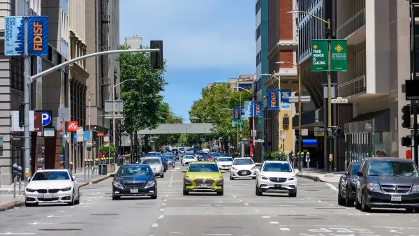
One-Way Streets Have Worse Crashes, Higher Crime and Lower Property Values — Why do we Still Use Them?
How reverting one-way streets to two-way can boost both safety and economic development.
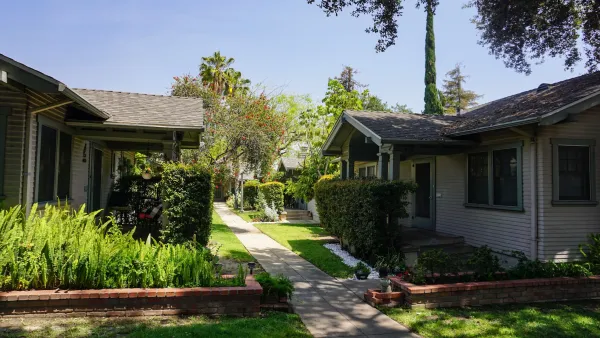
Waco wants to re-legalize cottage courts
Cities and states around the country are looking to a forgotten housing model as a way to ease the housing crisis.
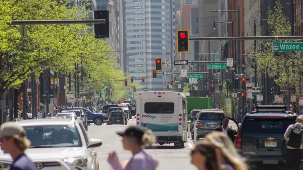
Congestion Costing Reality Check, Part 1: Congestion evaluation best practices
Widely cited studies claim that traffic congestion is a huge and growing problem. They exaggerate. Let’s examine how to correctly calculate congestion costs and roadway expansion benefits.

Planetizen Federal Action Tracker
A weekly monitor of how Trump’s orders and actions are impacting planners and planning in America.

The state-sanctioned urbicide of Austin
People don’t kill cities. Freeways do.

Colorado’s Largest Data Center Could Rise Next to Homes — Without a Public Hearing
The proposed campus would consume 11 times the power of Denver International Airport; as it has across the country, opposition mounts.

Nation's most wind-powered state turns to coal as data centers increase energy demand
For the first time in decades, Iowa has increased its generation of coal power.

NYC cools commuters with city's first rain garden above a bus stop
New York City officials say the plants in the rain garden can absorb 16 gallons of rainwater during heavy storms.

Brightline West’s future may rely on $6 billion federal loan
The company has until Nov. 2 to make a $400 million equity investment into its proposed high-speed rail line.

FREE Course: Walkable City 1: Why Walkability?
After describing his path towards focusing on walkability as the essence of good planning, Jeff Speck marches through his five principal reasons for making more walkable places.
Reinventing Malls: Planning Alchemy—Turning Gray Fields Into Gold
The course focuses on the opportunities and imperatives that shape reinvention of mall sites.

Greater Baltimore Committee
Eagle County Government
Harvard University Graduate School of Design
The Architects Foundation
University of Cincinnati Online
The Pocatello Development Authority
The Urban Renewal Agency of the City of Pocatello
Journal of the American Planning Association