The National Geodetic Survey maintains and updates critical spatial reference systems used extensively in both the public and private sectors.


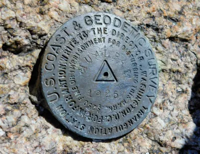
Federal funding and staffing cuts are threatening to have devastating effects on the work of the National Geodetic Survey (NGS), the nation’s oldest scientific agency and one responsible for accurately mapping and measuring the world.
Although little known, the agency’s work is crucial “As the world turns more and more toward operations that need precise coordinate systems like the ones NGS provides,” explains Molly Taft in Wired.
Founded in 1807 by Thomas Jefferson, NGS has expanded its original mapping mission to include “calculating the shape of the Earth, its orientation in space, and its gravitational field.” It is responsible for maintaining the National Spatial Reference System, which informs calculations for crucial infrastructure but has become outdated since its creation in the 1980s. “Ensuring hyper-accurate location is also becoming increasingly important as more and more industries are building up around automation that relies on precise spatial measurements.” The agency was planning to roll out an update of the system to ensure better accuracy.
Now, the agency has lost over a quarter of its staff. “A NOAA budget proposal from the White House Office of Management and Budget sent to the agency in April cuts the budget for the National Ocean Service, which houses NGS, by more than half.”
Read the full story: Trump Cuts Are Killing a Tiny Office That Keeps Measurements of the World Accurate


New Book Shows How Geographic Technology Tackles Global Challenges
In his new book, Jack Dangermond explores the transformative impact of GIS technology in solving global challenges through spatial data, highlighting its widespread application across sectors and its potential to design sustainable futures.
Building Healthier Communities: The Role of GIS in Park Planning
Integrating Geographic Information Systems (GIS) into park planning enhances community health by promoting physical activity, supporting mental well-being, fostering social connectedness, and addressing public health crises and climate change.
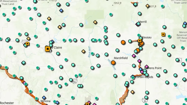
New Book Highlights How GIS Improves Outcomes
Esri Press recently published a digital book called Mapping the Nation which demonstrates how a geographic approach guides important decisions and addresses challenges around the globe.

Planetizen Federal Action Tracker
A weekly monitor of how Trump’s orders and actions are impacting planners and planning in America.

California plans to bury El Niño’s downpour
If the state plays its cards right, it may be able to store a billion acre-feet of El Niño’s water in aquifers.

Chicago breaks ground on $3 billion megadevelopment
The new neighborhood, titled Foundry Park, will one day host 3,700 residences.

Satanic place names
From streams and lakes to valleys and canyons, I mapped more than 1,000 places named after the Devil.

California High-Speed Rail Authority CEO resigns after $600,000 scandal
Under Ian Choudri, the authority used taxpayer dollars to fund first class flights and trips to nightclubs.

Want to study the Missouri River? Soon, you may need unanimous approval from 10 states
Legislation would require 10 governors’ permission to study or build projects moving water outside the basin.

FREE Course: Walkable City 1: Why Walkability?
After describing his path towards focusing on walkability as the essence of good planning, Jeff Speck marches through his five principal reasons for making more walkable places.
Reinventing Malls: Planning Alchemy—Turning Gray Fields Into Gold
The course focuses on the opportunities and imperatives that shape reinvention of mall sites.

City of Rosemead
Rutgers University, Edward J. Bloustein School of Planning and Public Policy
One Hundred Miles
Hunter College, City University of New York (CUNY)
The Architects Foundation
University of Cincinnati Online
City of Cambridge
Montrose County
The Pocatello Development Authority