Post-fire analysis of the Eaton Fire reveals that a landscape approach — including fire-resistant vegetation, home hardening, and strategic planning — can help reduce wildfire risk, challenging assumptions that trees and plants are primary fire hazards.


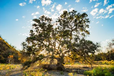
The Eaton Fire in Altadena, California, highlights the growing threat of wildfires in the Wildland Urban Interface (WUI) due to climate change and inadequate infrastructure. As Ronnie Siegel explains in this article, while initial assumptions often blame vegetation, post-fire evidence suggests trees and plants were not the primary culprits in the fire's spread—in fact, many served as protective barriers. A landscape-based approach to wildfire risk reduction involves limiting new development in the WUI, creating vegetated buffer zones, and making urban areas more fire-resistant through "home hardening" and updated land-use planning strategies. These measures, when implemented at both the individual and community levels, can help minimize future fire damage.
The Eaton Fire, fueled by drought-stricken chaparral and extreme Santa Ana winds, was likely ignited by a spark from power lines and rapidly spread via wind-driven embers. Thousands of homes burned, largely due to their flammability and close proximity to one another, overwhelming the region’s water supply and firefighting resources. Yet, in many places, native and well-watered trees — such as oaks and deodars — survived and even shielded homes from embers. Observations and LiDAR imaging suggest that fire-adapted and water-retentive plants, both native and non-native, can provide significant protection, challenging current defensible space guidelines that label many of these species as hazards.
Moving forward, experts recommend revisiting and updating these guidelines using on-the-ground data and further research into plant water retention and fire resistance. Collaboration among scientists, fire professionals, planners, and residents will be essential to determine the most effective plant species, landscape designs, and urban green buffer zones. Satellite imagery and post-fire mapping also indicate that urban vegetation — if properly maintained and irrigated — can slow wildfire spread and protect communities. By integrating fire science with landscape planning, we can build more resilient neighborhoods and reduce the risk of future wildfire disasters.
FULL STORY: With a Landscape Approach, We Can Reduce the Risk of the Next Wildfire Disaster


Rethinking Los Angeles Landscapes: Balancing Iconic Trees and Fire Resilience
L.A. must balance fire resilience with ecological preservation by gradually replacing flammable non-native plants like eucalyptus and palm trees with native and fire-resistant species while rethinking urban landscapes and land management practices.
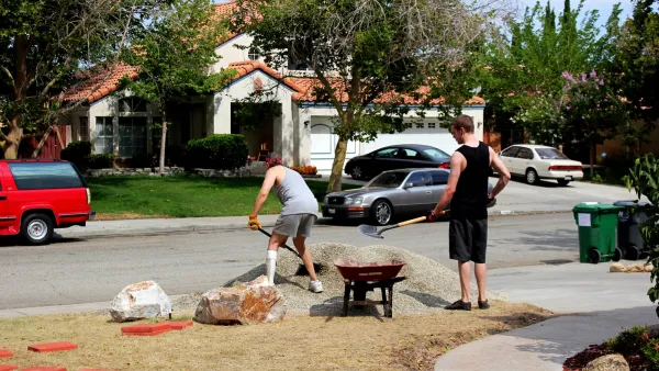
The Overlooked Spaces That Can Prevent the Spread of Fire
The space between homes can as much as double a chance’s home of survival during a fire.
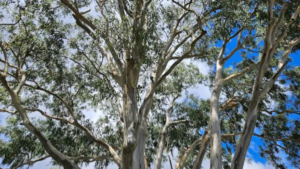
Rethinking Fire-Resistant Landscaping: Which Trees Should We Plant?
Fire experts emphasize the need to replace highly flammable trees like Mexican fan palms and eucalyptus with fire-resistant species such as oak, sycamore, and toyon, while also strengthening home fire defenses to reduce wildfire risks in California.

Planetizen Federal Action Tracker
A weekly monitor of how Trump’s orders and actions are impacting planners and planning in America.

The state-sanctioned urbicide of Austin
People don’t kill cities. Freeways do.

US to reduce Colorado River water deliveries to Mexico
A new Colorado Treaty amendment reduces Mexico’s Colorado River water allocation by 250,000 acre feet.

Mamdani overhauls NYC's Vision Zero plan with 100 new policy goals
The overhaul aims to reduce traffic deaths and make streets safer for pedestrians, cyclists and drivers through lower speed limits, new safety infrastructure and more.

Amtrak not solely to blame for New Jersey commuter rail's unreliability, report finds
A new study from the Garden State Initiative found that NJ Transit’s budget grew 20% across a 4 year period, but reliability declined significantly over the same period.

EPA erases limits on planet-warming pollution from power plants
Under Monday’s plan, power plants would still have some limits on how much mercury, arsenic and other contaminants they can emit.

FREE Course: Walkable City 1: Why Walkability?
After describing his path towards focusing on walkability as the essence of good planning, Jeff Speck marches through his five principal reasons for making more walkable places.
Reinventing Malls: Planning Alchemy—Turning Gray Fields Into Gold
The course focuses on the opportunities and imperatives that shape reinvention of mall sites.

Eagle County Government
Harvard University Graduate School of Design
Nashville Planning Department
The Architects Foundation
University of Cincinnati Online
The Pocatello Development Authority
The Urban Renewal Agency of the City of Pocatello
Journal of the American Planning Association