When it comes to intersections, adding more complexity can do more harm than good, according to a recent, detailed post on Greater Greater Washington.


Ben Ross decries the growing complexity of traffic signals at intersections all over the country, which might be better at distracting drivers than they are at directing them.
Ross selects the "intersection of doom" in Arlington—where Mount Vernon Trail turns into Custis Trail at the foot of the Key Bridge in Arlington—as a case study of unnecessary complexity in traffic signals and intersection design. There, explains Ross, "Drivers must simultaneously watch for cars coming from the left, cyclists and pedestrians entering the crosswalk from the right, and an overhead signal that went in in January that flashes a no-right-turn graphic for a few seconds during the leading pedestrian interval." Moreover, "the no-right-turn graphic is hard to see in bright light, and it is flanked by highly visible signs that seem to say turns are allowed."
According to Ross the arrangement of this intersection is common around American cities—the only thing remarkable about it is the large number of bikes and pedestrians travelling through the intersection.
The article goes on to discuss larger concepts that inform an understanding of how intersections like this fail to meet a goal of reliably keeping roads safe. Ross notes especially that two concepts are missing from traffic engineering guidelines: redundancy and parsimony. "Redundancy means backups for missed signals and improper actions. Parsimony means signals aren't excessively complex."
Read the full story: Complex traffic signals make streets less safe


Let’s End Traffic Stops
The technology to make traffic enforcement obsolete is becoming available. But in the U.S. willing to use it?
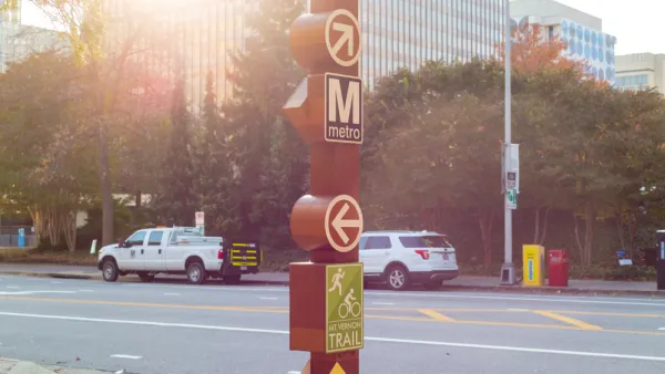
Quality Bike Infrastructure Saved Lives During the Pandemic, Study Says
Evidence from Arlington, Virginia.
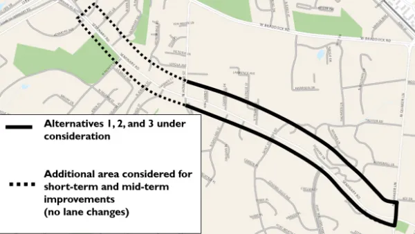
When it Comes to Road Diets, Evidence Doesn't Matter
Drivers are a powerful enough lobby to overcome all evidence of the need to redesign streets for safety. Examples from Maryland and Virginia provide the latest case studies in Vision Zero futility.

Planetizen Federal Action Tracker
A weekly monitor of how Trump’s orders and actions are impacting planners and planning in America.
California plans to bury El Niño’s downpour
If the state plays its cards right, it may be able to store a billion acre-feet of El Niño’s water in aquifers.

Desperate measures: Advocates weigh draining Lake Powell to fill Colorado River
Draining the reservoir could reduce evaporation losses by a couple hundred thousand acre-feet.

California city breaks ground on transit connector
The project includes three mobility hubs and a pedestrian bridge.

After public outcry, Massachusetts city releases housing development tracker
Cambridge’s tracker currently shows 250 housing projects in various stages of development.

40 years after approval, Chicago breaks ground on new park
The park honors Jean Baptiste Point du Sable, the city’s first permanent non-native settler.

FREE Course: Walkable City 1: Why Walkability?
After describing his path towards focusing on walkability as the essence of good planning, Jeff Speck marches through his five principal reasons for making more walkable places.
Reinventing Malls: Planning Alchemy—Turning Gray Fields Into Gold
The course focuses on the opportunities and imperatives that shape reinvention of mall sites.

City of Rosemead
Rutgers University, Edward J. Bloustein School of Planning and Public Policy
One Hundred Miles
Hunter College, City University of New York (CUNY)
The Architects Foundation
University of Cincinnati Online
City of Cambridge
Montrose County
The Pocatello Development Authority