


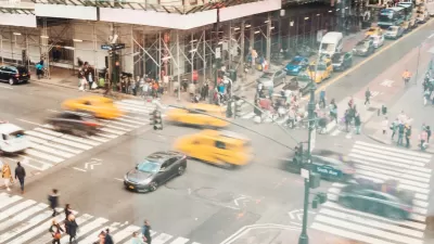
As part of the Vision Zero initiative for traffic safety, the city has hosted a map system that allowed citizens to report safety issues encountered on the street. With the reporting period now over, you can still peruse the findings of the exercise.
Stephen Miller wrote of the crowdsourcing exercise on July 31—the last day for citizens to report safety conditions to the Vision Zero mapping system. Now the city will "start using the information from the map to make plans for safety improvements..."
"Since launching the map in April, the city says there have been more than 7,500 comments about dangerous streets," reports Miller. The map is still available online, even if commenting is now closed.
"The map highlights arterial streets as well as the top pedestrian crash corridors in each borough and the sites of recent pedestrian fatalities. You can zoom in, click on an intersection, and use Google Street View to pinpoint the exact location you want to improve. Then you assign the problem a category like double parking, red light running, speeding, or failure to yield, and describe it in more detail."
FULL STORY: Map Out Which Streets Need Safety Fixes — It’s Now or Never

NYC Pedestrian Deaths Rose in 2024
The city’s Vision Zero efforts seem to have stalled.
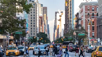
NYC Sees 127 Traffic Deaths in First Half of 2024
The number is the highest since the city pledged to end traffic deaths through Vision Zero policies a decade ago.
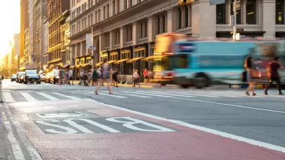
NYC’s Vision Zero Program Saved $90 Million in Medicaid Costs
While traffic fatalities remain far above zero, the city saw fewer injuries compared to areas without Vision Zero initiatives.

Planetizen Federal Action Tracker
A weekly monitor of how Trump’s orders and actions are impacting planners and planning in America.

Map: Where Senate Republicans Want to Sell Your Public Lands
For public land advocates, the Senate Republicans’ proposal to sell millions of acres of public land in the West is “the biggest fight of their careers.”

Restaurant Patios Were a Pandemic Win — Why Were They so Hard to Keep?
Social distancing requirements and changes in travel patterns prompted cities to pilot new uses for street and sidewalk space. Then it got complicated.

Albuquerque Route 66 Motels Become Affordable Housing
A $4 million city fund is incentivizing developers to breathe new life into derelict midcentury motels.

DC Area County Eliminates Bus Fares
Montgomery County joins a growing trend of making transit free.

Platform Pilsner: Vancouver Transit Agency Releases... a Beer?
TransLink will receive a portion of every sale of the four-pack.
Urban Design for Planners 1: Software Tools
This six-course series explores essential urban design concepts using open source software and equips planners with the tools they need to participate fully in the urban design process.
Planning for Universal Design
Learn the tools for implementing Universal Design in planning regulations.
Heyer Gruel & Associates PA
JM Goldson LLC
Custer County Colorado
City of Camden Redevelopment Agency
City of Astoria
Transportation Research & Education Center (TREC) at Portland State University
Camden Redevelopment Agency
City of Claremont
Municipality of Princeton (NJ)