


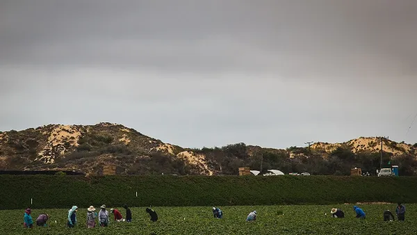
Plans to build a parkway around Houston will help ease traffic and spur growth in the region, but it will also run right through a key stopover point for millions of migrating birds.
Officials say the roadway plan is crucial for the economic vibrancy of the region, but environmentalists are trying to stop the plan to save a key link in the migratory path of birds.
"Development of this pristine land isn't just collateral damage - it's the point of the project. Project sponsors make no bones about it: The 15.2-mile Grand Parkway segment through Katy Prairie is a $462 million development project as much as it is a transportation project. Known as "Segment E," it would be the third phase in a 180-mile "scenic bypass" for Houston. Each of the 11 segments is considered a separate and 'independently justifiable project.'
Billy Burge of the Grand Parkway Association says right now there isn't much need for Segment E, in terms of traffic. Burge and his colleagues don't shy away from the fact that the project will generate more car trips and sprawl. In fact, they have what you might call a "build it and they will come" philosophy about road-building and traffic.
'There's real demand in 15 to 17 years to have this,' said Burge, who chairs the association overseeing the project for the state and the region. 'Once that link is completed, you'll have a steady stream of traffic.'"
FULL STORY: Third Houston Outerbelt Would Turn Prairies Into Texas Toast

Animal Overpasses
Highways can be deadly for animals, especially when they cut directly through habitats. A recently completed design competition sought ideas for creating animal-safe bridges over highways.
Without International Immigrants, the Rural US Population Would Be Falling 58%
Census data shows that population growth in rural areas is due in large part to international migrants.

The Five Most-Changed American Cities
A ranking of population change, home values, and jobs highlights the nation’s most dynamic and most stagnant regions.

Planetizen Federal Action Tracker
A weekly monitor of how Trump’s orders and actions are impacting planners and planning in America.

Maui's Vacation Rental Debate Turns Ugly
Verbal attacks, misinformation campaigns and fistfights plague a high-stakes debate to convert thousands of vacation rentals into long-term housing.

San Francisco Suspends Traffic Calming Amidst Record Deaths
Citing “a challenging fiscal landscape,” the city will cease the program on the heels of 42 traffic deaths, including 24 pedestrians.

Defunct Pittsburgh Power Plant to Become Residential Tower
A decommissioned steam heat plant will be redeveloped into almost 100 affordable housing units.

Trump Prompts Restructuring of Transportation Research Board in “Unprecedented Overreach”
The TRB has eliminated more than half of its committees including those focused on climate, equity, and cities.

Amtrak Rolls Out New Orleans to Alabama “Mardi Gras” Train
The new service will operate morning and evening departures between Mobile and New Orleans.
Urban Design for Planners 1: Software Tools
This six-course series explores essential urban design concepts using open source software and equips planners with the tools they need to participate fully in the urban design process.
Planning for Universal Design
Learn the tools for implementing Universal Design in planning regulations.
Heyer Gruel & Associates PA
JM Goldson LLC
Custer County Colorado
City of Camden Redevelopment Agency
City of Astoria
Transportation Research & Education Center (TREC) at Portland State University
Jefferson Parish Government
Camden Redevelopment Agency
City of Claremont