Serenbe is a new master-planned community outside of Atlanta that is creating a new model for placemaking in the U.S., taking its form from English villages and working within the natural environment.


"Master-planned by architect Phillip Tabb, AIA, who teaches architecture at Texas A&M University, Serenbe has a distinctive layout that achieves sustainable density while keeping nature in close proximity. The community contains about 125,000 acres, but only 20 percent of this land is to be developed as small hamlets (a total of four) that combine living and working. The scheme calls for a total of about 850 homes and several thousand residents. Right now, only one hamlet is completed, Selborne, with approximately 160 residents.
The Serenbe hamlets take their compact form from traditional English villages, Tabb explains-that of a linear spatial form following a road, with a nucleus at the center. You can see the distinctive pattern in Serenbe's layout, where four hamlets blossom at the apex of roads that appear to meander through the countryside. The serpentine roads might seem picturesque, but they have a sustainable purpose. In each hamlet, the road helps to define and buffer a central green area, usually fed by a stream or containing wetlands, that extends deep into the hamlet. House lots follow the horseshoe-shaped road, with larger lots at the ends of the horseshoe, while at the center the lots are smaller and denser. In a small amount of space the hamlets derive great spatial diversity and density (from one-and-a-half units per acre up to 20 per acre). Another advantage is that the lots back onto green space. "The curvilinear form creates and protects a central portion of the natural landscape," Tabb points out, open space designed to provide for recreation, organic farming, and scenic beauty. Open land is also used for wastewater and purification systems. Treated effluent water is then used for irrigation and toilets."
Read the full story: The “Placemaking/Sustainability” Connection
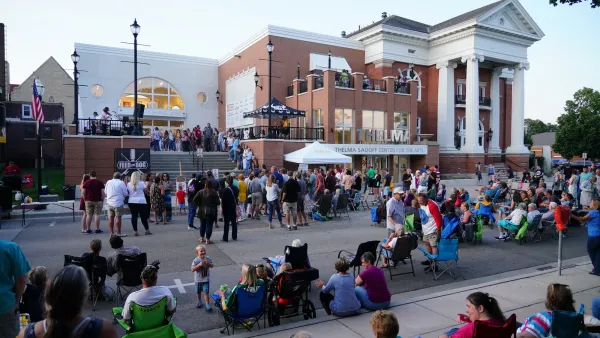
How Placemaking Lost its Way — And How it Can Get Back on Track
The term has often become diluted, getting attached to projects that don’t live up to its lofty aspirations.

String Lights are Secular! The Holiday Case for Year-round Placemaking
The holidays make streets and spaces warm, cozy, and welcoming. Why don’t we do that year round?

“Leveraging Place”: A Toolkit for Staying Loyal to the Places We Shape
Place speaks before we plan. We need to listen.

Planetizen Federal Action Tracker
A weekly monitor of how Trump’s orders and actions are impacting planners and planning in America.

Eastern Nebraska is running out of electricity
Data centers and electrification are straining eastern Nebraska’s grid, throttling economic development.
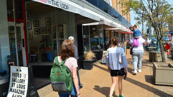
Move over, LA: St. Louis gears up for Olympics, invests millions in downtown redevelopment
The Missouri city will host the 2028 Olympic soccer group stage and knockout matches.

Dallas releases zoning code overhaul to officials
The drafted overhaul is over 400 pages long.

NYC renovations for dangerous, ‘mercilessly crammed’ street delayed until 2027
Construction was supposed to begin this fall.

San Diego’s Midway Rising project gets greenlight from city council
The project looks to become the largest affordable housing development in California's history.

FREE Course: Walkable City 1: Why Walkability?
After describing his path towards focusing on walkability as the essence of good planning, Jeff Speck marches through his five principal reasons for making more walkable places.
Reinventing Malls: Planning Alchemy—Turning Gray Fields Into Gold
The course focuses on the opportunities and imperatives that shape reinvention of mall sites.

City of Rosemead
Rutgers University, Edward J. Bloustein School of Planning and Public Policy
One Hundred Miles
University of Michigan School for Environment and Sustainability (SEAS)
Hunter College, City University of New York (CUNY)
The Architects Foundation
City of Cambridge
The Pocatello Development Authority
The Urban Renewal Agency of the City of Pocatello