


Mayor Mark Funkhouser's new proposal calls for a regional transit system spanning 119 miles, though it relies on much less light rail than some transit advocates had hoped for.
"Mayor Mark Funkhouser's office today released more details of his regional transit plan, calling for a system that covers 119 miles in Jackson, Clay and Platte counties.
But the plan calls for only 11 miles of light rail, with many more miles of bus, streetcar and commuter rail. It would be paid for in part with a ½-cent sales tax that Funkhouser hopes voters will approve in the three counties in November."
"In a letter sent to 60 area elected officials, he wrote:
"Enclosed you'll find a map and financial data for a regional transit system spanning more than 119 miles. It is a multi-modal system, utilizing light rail, modern streetcar, commuter rail, bus rapid transit and express bus service to connect Grandview, Lee's Summit, Raytown, Blue Springs, Independence, Liberty, North Kansas City, Gladstone, Parkville, the airport, the stadiums and the heart of Kansas City.""
"Here's the link to the plan: http://www.kcmo.org/mayor/transit.pdf."
FULL STORY: Funkhouser releases regional transit plan


Phoenix Light Rail Extension Opens
The South Central line extends 5.5 miles of rail into South Phoenix neighborhoods, bringing the city’s total light rail network to 35 miles.
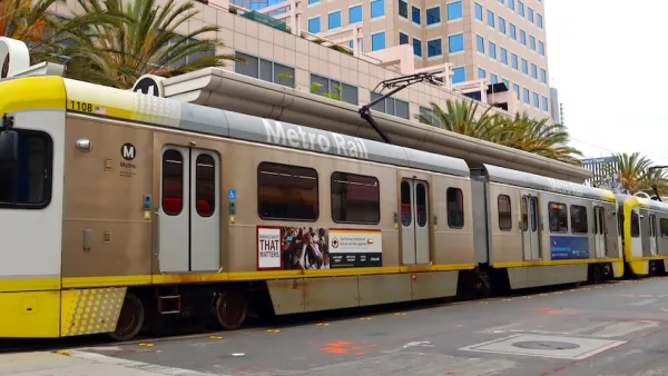
The World’s Longest Light Rail Line is in… Los Angeles?
In a city not known for its public transit, the 48.5-mile A Line is the longest of its kind on the planet.

DC Metro Is Betting on Buses
The agency plans to significantly expand bus service, which can be added faster and at a lower cost than rail projects.

Planetizen Federal Action Tracker
A weekly monitor of how Trump’s orders and actions are impacting planners and planning in America.

Restaurant Patios Were a Pandemic Win — Why Were They so Hard to Keep?
Social distancing requirements and changes in travel patterns prompted cities to pilot new uses for street and sidewalk space. Then it got complicated.

Map: Where Senate Republicans Want to Sell Your Public Lands
For public land advocates, the Senate Republicans’ proposal to sell millions of acres of public land in the West is “the biggest fight of their careers.”

Maui's Vacation Rental Debate Turns Ugly
Verbal attacks, misinformation campaigns and fistfights plague a high-stakes debate to convert thousands of vacation rentals into long-term housing.

San Francisco Suspends Traffic Calming Amidst Record Deaths
Citing “a challenging fiscal landscape,” the city will cease the program on the heels of 42 traffic deaths, including 24 pedestrians.

California Homeless Arrests, Citations Spike After Ruling
An investigation reveals that anti-homeless actions increased up to 500% after Grants Pass v. Johnson — even in cities claiming no policy change.
Urban Design for Planners 1: Software Tools
This six-course series explores essential urban design concepts using open source software and equips planners with the tools they need to participate fully in the urban design process.
Planning for Universal Design
Learn the tools for implementing Universal Design in planning regulations.
Heyer Gruel & Associates PA
JM Goldson LLC
Custer County Colorado
City of Camden Redevelopment Agency
City of Astoria
Transportation Research & Education Center (TREC) at Portland State University
Camden Redevelopment Agency
City of Claremont
Municipality of Princeton (NJ)