National Risk Index
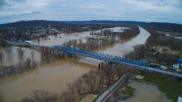
Are FEMA’s Disaster Assistance Calculations Biased Against Rural Communities?
The federal tool used to inform flood protection spending calculates communities' risk by multiplying expected annual loss in dollars by their risk factor. As a result, many rural areas are classified as “low” risk, despite frequent, severe flooding.

Los Angeles County the Riskiest Place in the U.S., FEMA Says
The new National Risk Index calculates the brutal equations of natural disasters.

FREE Course: Walkable City 1: Why Walkability?
After describing his path towards focusing on walkability as the essence of good planning, Jeff Speck marches through his five principal reasons for making more walkable places.
Reinventing Malls: Planning Alchemy—Turning Gray Fields Into Gold
The course focuses on the opportunities and imperatives that shape reinvention of mall sites.

City of Rosemead
Rutgers University, Edward J. Bloustein School of Planning and Public Policy
One Hundred Miles
Hunter College, City University of New York (CUNY)
The Architects Foundation
University of Cincinnati Online
City of Cambridge
Montrose County
The Pocatello Development Authority