


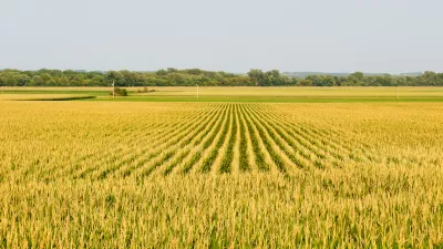
Crops
Land Use the Subject of Latest IPCC Report
Not urban land use, but in the literal sense: land used to produce food, graze livestock, supply drinking water, grow trees, and sequester carbon. As the climate warms and the population grows, crop yields will decrease and land will be degraded.

A Thriving Dallas Farm Feeds and Educates Year Round
A hydroponic farm on the grounds of the Texas State Fair helps residents in the food deserts of South Dallas.
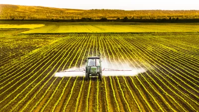
Study: Agriculture's Carbon Output Higher Than Previously Thought
Over the span of history, agricultural uses have released nearly as much carbon into the atmosphere as actual deforestation. New problem areas are still appearing in places like Brazil.
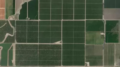
Where America Grows: Mapping the Country's Crops
Did you know that sweet potatoes are only produced in a small area of North Carolina? Or that flaxseed is only grown in the country's remote northern reaches? Crop maps published by the USDA paint an interesting picture of American agriculture.
City of Costa Mesa
Licking County
Barrett Planning Group LLC
HUD's Office of Policy Development and Research
Mpact Transit + Community
HUD's Office of Policy Development and Research
City of Universal City TX
ULI Northwest Arkansas
Town of Zionsville
Urban Design for Planners 1: Software Tools
This six-course series explores essential urban design concepts using open source software and equips planners with the tools they need to participate fully in the urban design process.
Planning for Universal Design
Learn the tools for implementing Universal Design in planning regulations.


