Digital Maps

New Tool Analyzes Chicago Zoning Maps
Six thousand different maps of Chicago can now be automatically dissected online.

Friday Eye Candy: Take a Tour of a Digital San Francisco
A modded version of Cities: Skylines and 200-250 hours are all it takes to make a 1:1 digital representation of the city of San Francisco.
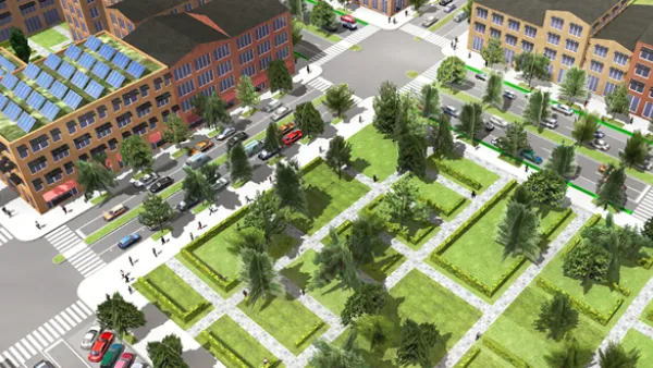
Build A 3D City Model Within Minutes
ESRI's CityEngine software enables 3D modeling of urban environments. The forthcoming version of the software will enable developers to use the 3D city modeling technology in their own software.
With Major Redesign, Google Heats Up Online Map Wars
In recent months, new players like Apple and MapBox have taken aim at the increasingly important arena of digital mapping. With the boldest redesign of Google Maps in 8 years launched this week, "the leader in online mapping" isn't standing pat.
The Quest to Build the Best Map
Why are Google, Apple, Nokia, and Microsoft funneling significant resources into creating the best digital maps? "[A]ll share the same hunch that maps sit at the core of our digital future," writes Farhad Manjoo.

FREE Course: Walkable City 1: Why Walkability?
After describing his path towards focusing on walkability as the essence of good planning, Jeff Speck marches through his five principal reasons for making more walkable places.
Reinventing Malls: Planning Alchemy—Turning Gray Fields Into Gold
The course focuses on the opportunities and imperatives that shape reinvention of mall sites.

City of Rosemead
Rutgers University, Edward J. Bloustein School of Planning and Public Policy
One Hundred Miles
Hunter College, City University of New York (CUNY)
The Architects Foundation
University of Cincinnati Online
City of Cambridge
Montrose County
The Pocatello Development Authority