Research by the University of Nebraska-Lincoln's Zhenghong Tang is helping conserve key south-central Nebraska wetlands that provide habitat for millions of migratory birds.


An expert in environmental planning and geospatial data science, the associate professor in the College of Architecture's community and regional planning program works with federal, state and local officials to generate detailed wetland profiles. The work is used to direct restoration projects within the region, which is known as the Rainwater Basin, and educate the public about its importance.
"The Rainwater Basin has been named by the federal government as one of the 10 most important wetlands in the nation," Tang said. "Protecting these wetlands is important globally because they provide habitat to more than 250 bird species and they are a key resting and feeding place for migratory birds, including the Sandhill cranes.
"Protection is also of regional importance because these wetlands help with flood mitigation and water quality improvement, and bring in millions of tourism dollars every year."
Since 2010, Tang has received more than $821,000 in grant funding from the Environmental Protection Agency and Department of the Interior to further research into the wetlands. The awards include a recent $100,000 EPA grant that will allow Tang's research team to use ground-penetrating radar to map sediment profiles across 93 wetland watersheds within the basin.
"Because the Rainwater Basin is a closed system, sedimentation is a key issue," said Ted LaGrange, wetland program manager for Nebraska Game and Parks Commission and a collaborator on Tang's research. "There are no outlets to the basin, so sediments that are transported in build up. Over time, that causes the basin to become shallower and they can't support habitats needed by the birds and other wildlife."
Traditionally, soil scientists have been tasked with using specialized drills to collect sediment profiles in the wetlands. Tang's research will use ground-penetrating radar to pass over the wetlands, generating sediment profiles -- from the surface to the clay layer -- electronically. The process is expected to speed up the data collection and use fewer resources compared to drilling.
"Drilling is time consuming and involves the use of a lot of labor and energy," Tang said. "By using ground-penetrating radar, I believe we can provide more accurate underground profiles about sediments quickly and efficiently. It also will allow us to get into areas of the wetlands that are not accessible to drills."
If successful, the profiles will be used to direct restoration projects -- primarily through removal of sediments -- within the basin.
"Projects led by Dr. Tang have been used to assess the health and condition of the Rainwater Basin," LaGrange said. "His work has helped us prioritize our restoration actions and what we do to improve the condition of the wetlands. He has been a great collaborator in helping us improve conservation in the Rainwater Basin."
For Tang, the research allows the chance to expand his expertise in geospatial technologies while also giving back to Nebraska.
"It's wonderful to fill the technology gap for federal and state wetland managers by providing more accurate wetland geospatial databases," Tang said. "It's also great knowing that my work is helping further sustainable land practices and preserving the environmental quality of these wetlands for future generations."
Writer: Troy Fedderson, University Communications
Read the full story: Tang applies research to wetlands conservation

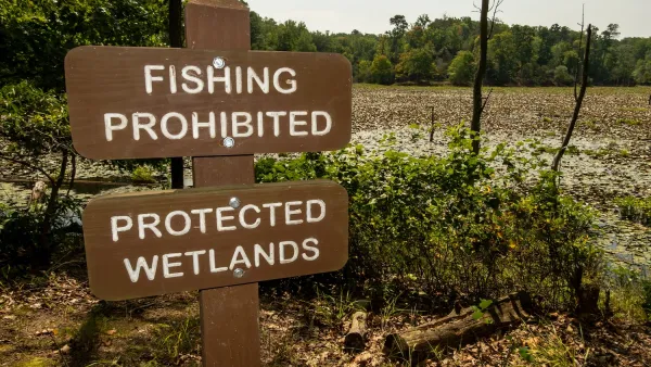
Proposed EPA Rule Change Would Exclude Millions of Acres of Wetlands and Waterways From Federal Protection
A proposed change to the Waters of the United States Rule would narrow the definition of protected waterways.
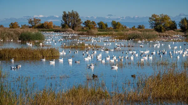
California Lawmakers Move to Protect Waterways
Anticipating that the Trump EPA will reinstate a 2017 policy that excluded seasonal wetlands and waterways from environmental protections.
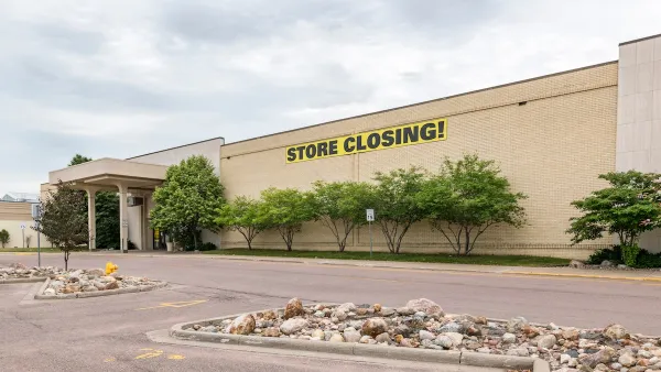
Shifts in Shopping: Transforming Malls Into Parks
Maybe zombie malls still have a second life — one with a little greenery.

Planetizen Federal Action Tracker
A weekly monitor of how Trump’s orders and actions are impacting planners and planning in America.

Amtrak, CN end decades-long dispute with eight-year agreement
The new operating agreement establishes an updated framework for the companies to work together, including processes to resolve disputes.

Judges permit Denver to divert 77,000 acre feet from the Colorado River for reservoir expansion
Overuse and climate change have caused the Colorado River’s water levels to plummet.
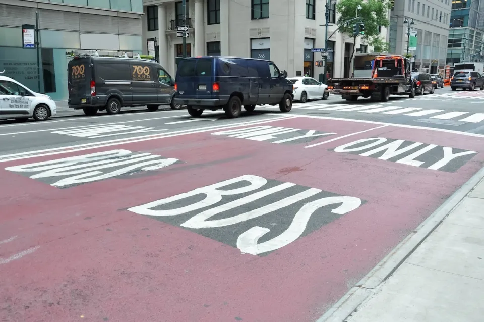
NYC DOT wants faster, more permanent street upgrades
The city is examining ways to build more concrete infrastructure without getting entangled in 'decades-long' projects.

'Something we’ve never seen before:' rising utility rates could strain city finances nationwide
Data centers, climate change and other factors have caused utility rates in the United States to increase by 38% since 2020.

Trump to overrule local leaders, lease millions of acres of America’s Pacific Island territories’ seafloors to mining companies
International law says that the Indigenous people of America’s territories have a right to prior and informed consent regarding projects that impact their countries.

FREE Course: Walkable City 1: Why Walkability?
After describing his path towards focusing on walkability as the essence of good planning, Jeff Speck marches through his five principal reasons for making more walkable places.
Reinventing Malls: Planning Alchemy—Turning Gray Fields Into Gold
The course focuses on the opportunities and imperatives that shape reinvention of mall sites.

Harvard University Graduate School of Design
KFH Group Inc.
Greater Baltimore Committee
The Architects Foundation
University of Cincinnati Online
The Pocatello Development Authority
The Urban Renewal Agency of the City of Pocatello