The present threat of a global pandemic reveals the fundamental problem with visions for 'sustainable cities' relying on urban agriculture: there are important medical reasons for separating livestock operations from people.
"It's interesting to note...that swine flu, unsurprisingly, comes from 'close contact with pigs' – that is, spatial proximity between humans and their livestock. Swine flu, we could say, is a spatial problem – an epiphenomenon of landscape.
[T]here were very real epidemiological reasons for taking agriculture out of the city; finding a new place for urban farms will thus not only require very intense new spatial codes, it will demand constant vigilance in researching and developing inoculations. Few people want to see burning piles of livestock in Times Square or Griffith Park, let alone piles of human corpses infected with H5N1.
Avian flu, foot-and-mouth disease, swine flu: if these are spatially activated, so to speak, and spread through certain unrecommended proximities between humans and animals, then urban design's medical undergirding is again revealed. The space around you is no mere stylization; it is a strategy of containment. The modern city [is not just] a place to live – but also a functioning medical instrument."
FULL STORY: This Diseased Utopia: 10 Thoughts on Swine Flu and the City

Planetizen Federal Action Tracker
A weekly monitor of how Trump’s orders and actions are impacting planners and planning in America.

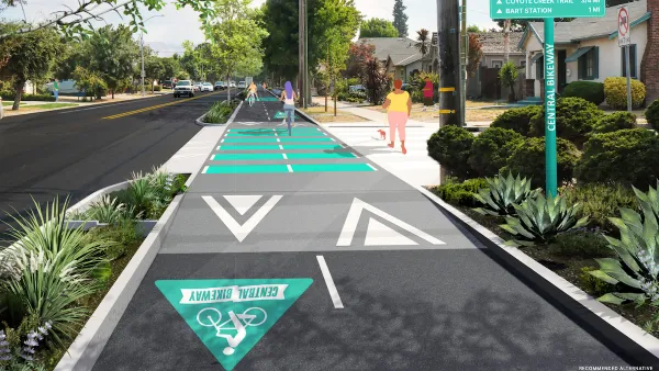
Silicon Valley ‘Bike Superhighway’ Awarded $14M State Grant
A Caltrans grant brings the 10-mile Central Bikeway project connecting Santa Clara and East San Jose closer to fruition.

Amtrak Cutting Jobs, Funding to High-Speed Rail
The agency plans to cut 10 percent of its workforce and has confirmed it will not fund new high-speed rail projects.

California Set to Increase Electric Truck Chargers by 25%
The California Transportation Commission approved funding for an additional 500 charging ports for electric trucks along some of the state’s busiest freight corridors.

21 Climate Resilience Projects Cancelled by the EPA
The federal government has pulled funding for at least 21 projects related to farming, food systems, and environmental justice to comply with one of Trump’s early executive orders.

Trump Executive Order on Homelessness Calls for Forced Institutionalization
The order seeks to remove legal precedents and consent decrees that prevent cities from moving unhoused people from the street to treatment centers.
Urban Design for Planners 1: Software Tools
This six-course series explores essential urban design concepts using open source software and equips planners with the tools they need to participate fully in the urban design process.
Planning for Universal Design
Learn the tools for implementing Universal Design in planning regulations.
Yukon Government
Caltrans
New Jersey Institute of Technology
Mpact (founded as Rail~Volution)
City of Camden Redevelopment Agency
City of Norman, Oklahoma
City of Portland
City of Laramie


