For the last couple of years I have been tracking decision support tools that bring audio into the planning process. At our PLACEMATTERS06 conference, Harris Miller Miller & Hanson Inc. (HMMH) demonstrated their suite of acoustical environmental tools for planning, including a simple online soundbuilder enabling visitors to create different mixes with several sound overlays.
For the last couple of years I have been tracking decision support tools that bring audio into the planning process. At our PLACEMATTERS06 conference, Harris Miller Miller & Hanson Inc. (HMMH) demonstrated their suite of acoustical environmental tools for planning, including a simple online soundbuilder enabling visitors to create different mixes with several sound overlays.
Last year I was also impressed with the sound functionality of some 3D visualization tools, including 3D Studio Max and Blitz 3D. One can add sound sources into their 3D landscape varying in intensity depending on how close they are to the sound source. Winston & Associates showed off a hybrid 3D visualization composition of a local high school renovation project comprised of SketchUp buildings, 3D Studio Max texturizing, and Blitz 3D real-time. The school garden included birdhouses and rustling trees that became louder and quieter as you walked by them.
Last night while I was catching up on my bills, I was listening to this week's edition of the NPR program Living on Earth as a podcast. A story about Dr. Bernie Krause of Wild Sanctuary took the prize with a way cool audio tool integrated with Google Earth. A self-proclaimed "Bio-acoustician," Dr. Krause has been collecting recordings of natural habitats and cities for over 40 years. He recently teamed up with Google to create Google Earth KML Layers of various habitats with associated audio files integrated into the landscape. According to the interview, once the KML is loaded, you go to the lower left hand part of the page and click a little box that will say soundscape. As you're zooming into a spot the sound will get louder and louder until you're a couple of thousand feet above that particular site and you'll hear the full range of sound. Personally, I could not find this check box, so I was only able to hear the audio files through the weblinks provided for each placemark.
Alarming was an example of Lincoln Meadow, which is about 40 miles north of Truckee in California, an area loggers claimed had been sustainably harvested. Pictures of the selective logging leave the impression that impacts have been minimal. But listen to the recordings before the harvesting in 1988 and then again exactly one year later after the harvesting and you get a totally different "picture." In the first example the audio landscape represents a chorus of birds, insects and wildlife. One year later, and it's the audio equivalent of a desert with only the sound of water in a nearby stream and a wood pecker remaining. 15 years later and the birds still have not come back, claims Dr. Krause.
The potential for tools like these to help people make more complete decisions around ecosystem based management and land use planning is encouraging. Dr. Krause also played examples of city sounds and how distinctive different cities are – a neat way to capture the "heart and soul" of different types of communities. Audio tools represent a new class of decision support tools, allowing for "sounder" planning.

Planetizen Federal Action Tracker
A weekly monitor of how Trump’s orders and actions are impacting planners and planning in America.

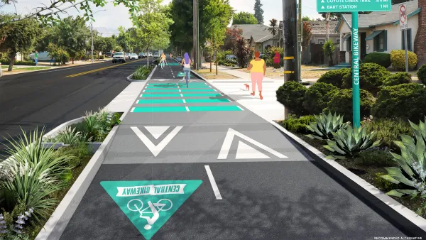
Silicon Valley ‘Bike Superhighway’ Awarded $14M State Grant
A Caltrans grant brings the 10-mile Central Bikeway project connecting Santa Clara and East San Jose closer to fruition.

Amtrak Cutting Jobs, Funding to High-Speed Rail
The agency plans to cut 10 percent of its workforce and has confirmed it will not fund new high-speed rail projects.

Washington’s New Rent Cap Set Just Below 10% for 2026
Washington’s statewide cap on annual residential rent increases will be just shy of 10 percent next year, down slightly from its current level.

Nature Starts Here: The Essential Role of Nature Centers and Outdoor Programs
Nature centers and outdoor programs serve as vital gateways to environmental education, equity, and stewardship — bringing people closer to nature and inspiring the next generation to care for the planet.

Opinion: California Clean Transportation Efforts Not Addressing Needs of Low-Income Residents
The state’s rebate programs for e-bikes and other light electric vehicles are too underfunded to reach many of the Californians who need them most.
Urban Design for Planners 1: Software Tools
This six-course series explores essential urban design concepts using open source software and equips planners with the tools they need to participate fully in the urban design process.
Planning for Universal Design
Learn the tools for implementing Universal Design in planning regulations.
Caltrans
City of Fort Worth
New Jersey Institute of Technology
Mpact (founded as Rail~Volution)
City of Camden Redevelopment Agency
City of Portland
City of Laramie


