A new tool highlights the uneven nature of the state’s housing crisis.



A new interactive map from the Florida State University, Florida Policy Project, and Reason Foundation illustrates Florida’s housing shortage, highlighting the areas where the crisis is most dire.
The map “allows residents and elected officials to see local-level housing trends, track shortages in single-family and rental units, and understand whether their local market has been in balance, surplus, or deficit over time.”
According to the tool’s creators, “Today, Florida faces a severe housing shortage: approximately 55,000 single-family units and more than 66,000 rental units are missing from the market. Yet the gap is even worse in certain metro areas—Miami-Dade, Fort Lauderdale, and Tampa rank among the least affordable housing markets in the nation.” They attribute this to a range of causes including permitting delays, restrictive zoning, and complex development processes that restrict new construction.
The researchers hope that “With straight-forward housing supply numbers tailored for local use, citizens and policymakers alike can see how deeply the housing shortage cuts into their communities—and why fixing Florida’s broken housing system is no longer optional.”
Read the full story: Florida Housing Data Project


The ADU Movement Grows Around the Country
More states and cities are promoting backyard cottages, converted garages, and other add-on units. Are they making an impact?
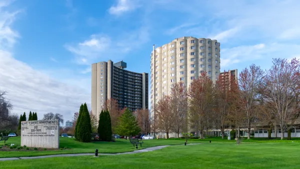
Report: Every US State is Unaffordable for the Lowest-income Households
Nationwide, there are only 35 affordable and available homes for every 100 lowest-income renter families.

Pennsylvania Housing Action Plan Calls for $1B Fund, Expanded Renter Protections, Homebuyer Assistance
Gov. Shapiro’s proposed plan would bolster support for renters and homebuyers and reduce barriers to housing development.

Planetizen Federal Action Tracker
A weekly monitor of how Trump’s orders and actions are impacting planners and planning in America.

The state-sanctioned urbicide of Austin
People don’t kill cities. Freeways do.
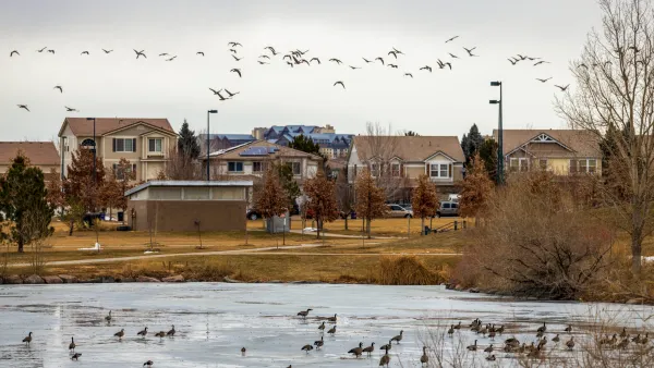
Colorado’s Largest Data Center Could Rise Next to Homes — Without a Public Hearing
The proposed campus would consume 11 times the power of Denver International Airport; as it has across the country, opposition mounts.

Judges permit Denver to divert 77,000 acre feet from the Colorado River for reservoir expansion
Overuse and climate change have caused the Colorado River’s water levels to plummet.

Amtrak, CN end decades-long dispute with eight-year agreement
The new operating agreement establishes an updated framework for the companies to work together, including processes to resolve disputes.

Raised interest rates may kill financially vulnerable construction projects
The chief economist at ConstructConnect warns that if construction project owners are negatively impacted by the raised rates, it could result in delayed payments to contractors.

FREE Course: Walkable City 1: Why Walkability?
After describing his path towards focusing on walkability as the essence of good planning, Jeff Speck marches through his five principal reasons for making more walkable places.
Reinventing Malls: Planning Alchemy—Turning Gray Fields Into Gold
The course focuses on the opportunities and imperatives that shape reinvention of mall sites.

Greater Baltimore Committee
Eagle County Government
Harvard University Graduate School of Design
The Architects Foundation
University of Cincinnati Online
The Pocatello Development Authority
The Urban Renewal Agency of the City of Pocatello
Journal of the American Planning Association