


UrbanFootprint Announces New City Resilience Planning Analytics
UrbanFootprint
Thursday June 14, 2018
Location: Berkeley, CA
Today UrbanFootprint is excited to introduce a new Risk & Resilience Analytics Module designed to help planners and communities better prepare for the projected impacts of sea level rise, flood risk, and fire hazard.
As communities nationwide are feeling the increasing impacts of climate change, extreme weather, and natural disasters, urban planners are working to secure sustainable and healthy solutions for both people and planet.
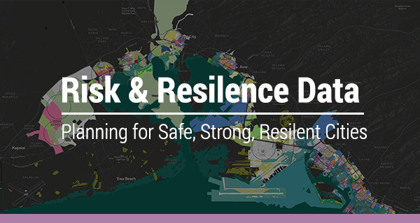
UrbanFootprint’s new Risk and Resilience Analytics Module gives planners the data they need to effectively quantify and illustrate the projected impacts of climate change on populations, job centers, housing, and beyond. The Risk and Resilience Module makes it easy to evaluate current and future land use scenarios, anywhere in the U.S., and identify areas at risk with hundreds of ready-to-use data sets, including NOAA sea level rise, FEMA flood hazard areas, and more.
Ready for more details? We invite you to book a demo with our team and check out the first installment of our new Planning for Resilience blog series: "Data-Driven Planning for City Resilience: Quantifying Sea Level Rise."
Posted June 14, 2018
Want to see more events?
Planetizen Courses: Online Training in Urban Planning
Access more than 250 urban planning courses on your computer, phone, or tablet. Learn today, plan for tomorrow.

Planetizen AICP* Exam Prep Class
90% of students who took our class passed the exam and became AICP* certified.

Get your event noticed today.
planning NEXT
Appalachian Highlands Housing Partners
City of Portland
City of Laramie