
Jennifer Evans-Cowley, PhD, FAICP, is the Provost and Vice President for Academic Affairs at th eUniversity of North Texas. Dr. Evans-Cowley regularly teaches courses to prepare candidates to take the AICP exam. In 2011, Planetizen named Cowley as one of the leading thinkers in planning and technology. Her research regularly appears in planning journals, she is the author of four Planning Advisory Service Reports for the American Planning Association, and regularly blogs for Planetizen.

Create Your Own Mobile Planning App
Ever wonder how you could create your own mobile app. This blog post shares tools that make it possible for planners to create apps, along with an example of Chip-In, an app focused on harnessing volunteer resources in communities.
Ohio State University Planning Accessible Bike Sharing System
Ohio State University plans to launch a bicycle sharing system this fall that is flexible and accessible, meeting the needs of many types of users. The system will include a mix of bicycles including tandem, hand cycle, electric assist, and others.

Ready, Set, Action: Using 'Active Lifestyle Cameras' in Planning
Active Lifestyle Cameras are increasing in popularity—allowing for people to capture the moment on camera while in action. Now planners can use active lifestyle cameras to study all manner of activities, from use of parks to commuting.
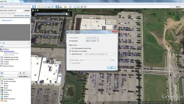
Using Google Earth to Understand Parking Utilization
As planners we use maps on a daily basis. This article shares how to find the date and time that a Google Earth image was taken, which can be helpful in undertaking site analysis and understanding parking utilization.

The Best Planning Apps for 2015
A list of mobile apps that support planning, as part of an annual update. Learn about exciting new ways to explore cities and enhance planning via mobile apps. Please feel free to add your own favorites.