


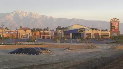
The State of California has shifted from measuring "Level of Service," a grade based on how many cars pass through an intersection in a given time, to assessing overall Vehicle Miles Traveled (VMT) in its Environmental Quality laws.
After a yearlong effort by the Governor's Office of Planning and Research (OPR), and legislation passed last year, California has shifted from measuring LOS to VMT. According to Damien Newton and Melanie Curry of Streetsblog, this shift represents the changing priorities of California to encourage projects that meet environmental, multi-modal transportation, and infill development goals.
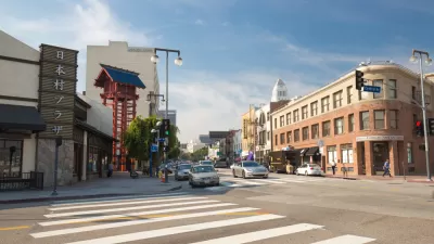
Previously, LOS required time and money to conduct expensive traffic analysis studies, and subsequent mitigation measures. These factors limited the capabilities and effectiveness of projects aiming to reduce car dependency. As opposed to LOS, VMT is, "easier and faster to estimate, and produces a measure of a project’s effect on overall travel, rather than just focusing on delay caused to cars at certain intersections." With this change in policy, "projects that are shown to decrease vehicle miles traveled–for example, bike lanes or pedestrian paths, or a grocery store that allows local residents to travel shorter distances to shop–may be automatically considered to have a 'less than significant' impact under CEQA."
Further revisions may need to be created as the proposed guidance still awaits the formal rulemaking process. OPR welcomes public comments on the draft. Send them by 5 pm, October 10, to: [email protected].
FULL STORY: California Has Officially Ditched Car-Centric ‘Level of Service’

Staying Vigilant on Level of Service Reform
The Natural Resources Defense Council's (NRDC) Switchboard blog chimes in on the potential benefits of California's ongoing reform of Level of Service (LOS) review.
A New Day for the California Environmental Quality Act
The California Natural Resources Agency posted the final version of amendments to the California Environmental Quality Act, enabled by 2013's SB 743, at the end of 2018.
The Final Days of 'Level of Service' in California's Environmental Review Process
A long-awaited draft update of the California Environmental Quality Act (CEQA) has finally been released, and Level of Service will finally be a thing of the past in the next two to four years.

Planetizen Federal Action Tracker
A weekly monitor of how Trump’s orders and actions are impacting planners and planning in America.

Map: Where Senate Republicans Want to Sell Your Public Lands
For public land advocates, the Senate Republicans’ proposal to sell millions of acres of public land in the West is “the biggest fight of their careers.”

Restaurant Patios Were a Pandemic Win — Why Were They so Hard to Keep?
Social distancing requirements and changes in travel patterns prompted cities to pilot new uses for street and sidewalk space. Then it got complicated.

Platform Pilsner: Vancouver Transit Agency Releases... a Beer?
TransLink will receive a portion of every sale of the four-pack.

Toronto Weighs Cheaper Transit, Parking Hikes for Major Events
Special event rates would take effect during large festivals, sports games and concerts to ‘discourage driving, manage congestion and free up space for transit.”

Berlin to Consider Car-Free Zone Larger Than Manhattan
The area bound by the 22-mile Ringbahn would still allow 12 uses of a private automobile per year per person, and several other exemptions.
Urban Design for Planners 1: Software Tools
This six-course series explores essential urban design concepts using open source software and equips planners with the tools they need to participate fully in the urban design process.
Planning for Universal Design
Learn the tools for implementing Universal Design in planning regulations.
Heyer Gruel & Associates PA
JM Goldson LLC
Custer County Colorado
City of Camden Redevelopment Agency
City of Astoria
Transportation Research & Education Center (TREC) at Portland State University
Camden Redevelopment Agency
City of Claremont
Municipality of Princeton (NJ)