


A "wonderfully simplified" map of San Francisco's best bicycle routes modeled on Harry Beck's revolutionary map for the London Underground aims to encourage people to saddle up through clean graphic design.
Over the weekend, we looked at the importance of comparing time and cost savings for encouraging bike use over other transportation modes. Another way to get potential riders to grab two wheels is to make clear the best ways to navigate a city's existing bicycle infrastructure. That's the idea, at least, behind Mat Kladney's "San Francisco Bicycle System" [PDF], a "wonderfully simplified version of San Francisco's bicycle infrastructure, with routes between popular destinations given as colorized tubes not unlike the city's metro map," writes Eric Jaffe.
"Kladney purposefully made design references to urban subway maps because he believes people are more apt to bike if they think it'll be as easy as riding the train. 'Need to get from Downtown to the Bernal Heights? Just follow the Blue Line,' he says. 'This simplicity will re-frame the existing San Francisco bicycle lanes as the San Francisco Bicycle System and will help convince more people to saddle up and take to the streets.'"
FULL STORY: A Wonderfully Simplified Map of San Francisco's Bicycle Infrastructure

San Francisco Mayor Backtracks on Homelessness Goal
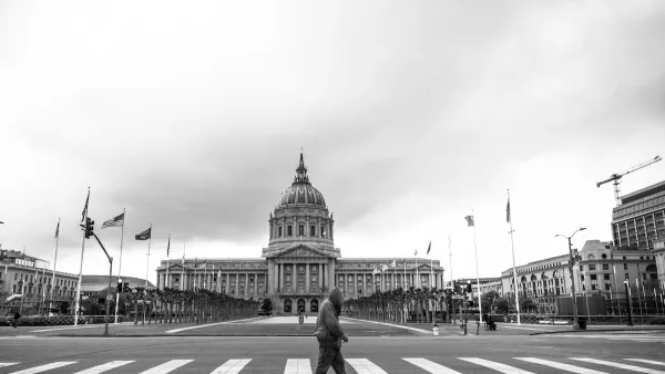
Mayor Dan Lurie ran on a promise to build 1,500 additional shelter beds in the city, complete with supportive services. Now, his office says they are “shifting strategy” to focus on prevention and mental health treatment.

Opinion: What San Francisco’s Proposed ‘Family Zoning’ Could Really Mean
Mayor Lurie is using ‘family zoning’ to encourage denser development and upzoning — but could the concept actually foster community and more human-scale public spaces?

San Francisco Suspends Traffic Calming Amidst Record Deaths
Citing “a challenging fiscal landscape,” the city will cease the program on the heels of 42 traffic deaths, including 24 pedestrians.

Planetizen Federal Action Tracker
A weekly monitor of how Trump’s orders and actions are impacting planners and planning in America.

Chicago’s Ghost Rails
Just beneath the surface of the modern city lie the remnants of its expansive early 20th-century streetcar system.

Amtrak Cutting Jobs, Funding to High-Speed Rail
The agency plans to cut 10 percent of its workforce and has confirmed it will not fund new high-speed rail projects.

Ohio Forces Data Centers to Prepay for Power
Utilities are calling on states to hold data center operators responsible for new energy demands to prevent leaving consumers on the hook for their bills.

MARTA CEO Steps Down Amid Citizenship Concerns
MARTA’s board announced Thursday that its chief, who is from Canada, is resigning due to questions about his immigration status.

Silicon Valley ‘Bike Superhighway’ Awarded $14M State Grant
A Caltrans grant brings the 10-mile Central Bikeway project connecting Santa Clara and East San Jose closer to fruition.
Urban Design for Planners 1: Software Tools
This six-course series explores essential urban design concepts using open source software and equips planners with the tools they need to participate fully in the urban design process.
Planning for Universal Design
Learn the tools for implementing Universal Design in planning regulations.
Caltrans
City of Fort Worth
Mpact (founded as Rail~Volution)
City of Camden Redevelopment Agency
City of Astoria
City of Portland
City of Laramie