The National Association of City Transportation Officials, representing fifteen major American cities, released the second edition of its Urban Bikeway Design Guide on Sept. 6. It includes a new chapter on bicycle boulevards.


Streetsblog's Tanya Snyder gives the design guide high marks - evaluating it as "far ahead" of other manuals on bicycle facilities.
"NACTO's guide is far ahead of the industry standard, old-guard manuals: the Federal Highway Administration's Manual on Uniform Traffic Control Devices and the American Association of State Highway Transportation Officials' design guidelines. NACTO's Urban Bikeway Design Guide was the first to provide engineering guidance for protected bike lanes."
NACTO's first edition was released March 9, 2011, "[A] comprehensive overview of the latest developments in bicycle infrastructure that is intended to advance state and national policy", wrote Streetsblog's Angie Schmitt at that time.
"Meanwhile, AASHTO just published its first update in 13 years and is still not ready to embrace protected bike lanes, though (b)oulevards do get a mention, writes Snyder. She did offer some positive words, though, upon its release on June 19.
"Transportation engineers know that the entire system works more efficiently when we build streets, bridges, and highways that can accommodate bicyclists and pedestrians in the safest way possible," AASHTO Director John Horsley said in a statement.
"About NACTO" provides the history of the organization:
"NACTO was founded in 1996 by then Commissioner Elliot Sander of New York City's Department of Transportation after concluding that, unlike the nation's States which often interact with each other and through the American Association of State and Highway Transportation Officials (AASHTO), the large central cities had virtually no meaningful political or technical relationships with each other."
NAACTO's president is none other than the Transportation Commissioner of New York City, Janette Sadik-Khan.
According to the NAACTO press release, "The Urban Bikeway Design Guide is an interactive document that can be found online at http://www.c4cguide.org and www.citiesforcycling.org. The print edition of the NACTO Guide may be ordered for $46."
AASHTO's guide can be downloaded for $144 or $120 for members.
Thanks to John Holtzclaw
Read the full story: NACTO Beats the Clock With Quick Update of Bike Guide

Protected Bike Lanes May Receive Federal Recognition
While protected bike lanes have yet to be recognized by AASHTO, they are en route to being recognized by US DOT, writes Green Lane Project's Michael Andersen. With federal guidance, transportation engineers may be more willing to build cycle tracks.
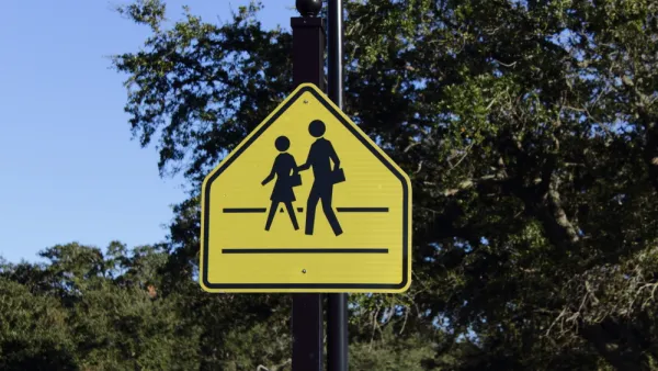
NACTO Suggests Changes to MUTCD
The association's proposed changes to the manual include a focus on eliminating road deaths, improving pedestrian safety, and creating a more inclusive public process.
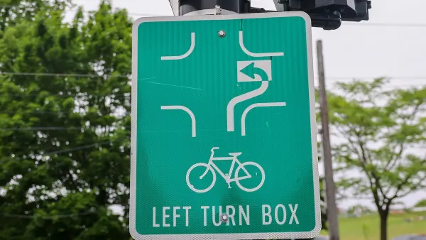
US Road Design Manual Gets Multimodal Update
The long-awaited changes include road design elements and signage aimed at improving safety for pedestrians and cyclists while planning for autonomous vehicles.

Planetizen Federal Action Tracker
A weekly monitor of how Trump’s orders and actions are impacting planners and planning in America.

California plans to bury El Niño’s downpour
If the state plays its cards right, it may be able to store a billion acre-feet of El Niño’s water in aquifers.

Chicago breaks ground on $3 billion megadevelopment
The new neighborhood, titled Foundry Park, will one day host 3,700 residences.

California High-Speed Rail Authority CEO resigns after $600,000 scandal
Under Ian Choudri, the authority used taxpayer dollars to fund first class flights and trips to nightclubs.

Want to study the Missouri River? Soon, you may need unanimous approval from 10 states
Legislation would require 10 governors’ permission to study or build projects moving water outside the basin.

Desperate measures: Advocates weigh draining Lake Powell to fill Colorado River
Draining the reservoir could reduce evaporation losses by a couple hundred thousand acre-feet.

FREE Course: Walkable City 1: Why Walkability?
After describing his path towards focusing on walkability as the essence of good planning, Jeff Speck marches through his five principal reasons for making more walkable places.
Reinventing Malls: Planning Alchemy—Turning Gray Fields Into Gold
The course focuses on the opportunities and imperatives that shape reinvention of mall sites.

City of Rosemead
Rutgers University, Edward J. Bloustein School of Planning and Public Policy
One Hundred Miles
Hunter College, City University of New York (CUNY)
The Architects Foundation
University of Cincinnati Online
City of Cambridge
Montrose County
The Pocatello Development Authority