


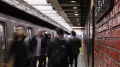
In a trial run starting in December, monitors in one New York City subway station will display the exact location of every train on the line, giving riders a more accurate idea about how long they'll have to wait for the next train.
"Beginning in December, officials will install a computer screen at each end of the platform showing a graphic representation of the entire L line and the location of every train on it. Waiting passengers can watch the trains move along the tracks as the data is updated every 15 seconds. That way, passengers can see for themselves if there really is another train 'right behind this one.'"
"If the system works, and riders like it, it could be installed in other stations on the L line, said Greg Lombardi, the line's general manager, who helped create the system. Ultimately it could be used on other lines as well."
"Mr. Lombardi said the system might also be able to point straphangers to the least crowded cars on a train, using information from onboard sensors that monitor the weight of each car."
"The screens at the Myrtle-Wyckoff station will complement a system that has been in place on the L line for more than a year, using electronic signs and announcements to tell passengers approximately how many minutes they will have to wait for the next train to arrive."
Thanks to Streetsblog
FULL STORY: Maybe There Is Another Train Right Behind

New York Subway Reaches One Billion Ride Milestone
The system’s 2024 performance is on track for its fastest growth since the pandemic.
NYC Tests New Subway Gates to Limit Fare Evasion
The mayor has taken a strong interest in enforcing fare collection at the city’s transit stations.
MTA Boosts Suicide Prevention Efforts on Subway System
One pilot program involves installing blue lights that could have a ‘calming effect’ at three subway stations.

Planetizen Federal Action Tracker
A weekly monitor of how Trump’s orders and actions are impacting planners and planning in America.

San Francisco's School District Spent $105M To Build Affordable Housing for Teachers — And That's Just the Beginning
SFUSD joins a growing list of school districts using their land holdings to address housing affordability challenges faced by their own employees.

Can We Please Give Communities the Design They Deserve?
Often an afterthought, graphic design impacts everything from how we navigate a city to how we feel about it. One designer argues: the people deserve better.

The EV “Charging Divide” Plaguing Rural America
With “the deck stacked” against rural areas, will the great electric American road trip ever be a reality?

Judge Halts Brooklyn Bike Lane Removal
Lawyers must prove the city was not acting “arbitrarily, capriciously, and illegally” in ordering the hasty removal.

Engineers Gave America's Roads an Almost Failing Grade — Why Aren't We Fixing Them?
With over a trillion dollars spent on roads that are still falling apart, advocates propose a new “fix it first” framework.
Urban Design for Planners 1: Software Tools
This six-course series explores essential urban design concepts using open source software and equips planners with the tools they need to participate fully in the urban design process.
Planning for Universal Design
Learn the tools for implementing Universal Design in planning regulations.
Borough of Carlisle
Smith Gee Studio
City of Camden Redevelopment Agency
City of Astoria
Transportation Research & Education Center (TREC) at Portland State University
City of Camden Redevelopment Agency
Municipality of Princeton (NJ)