


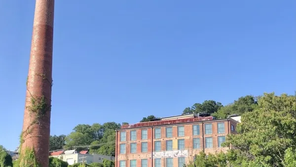
A key idea of western North Carolina's Mountain Landscapes Initiative is to create a map of land already in conservation, layered with land that should be preserved, so that developers, builders, and residents together can plan responsibly.
"In the mountains of western North Carolina, planning isn't all that popular. Three of the Tar Heel State's seven westernmost counties have no subdivision regulations, and when planning is proposed, some longtime residents deride it as 'socialism.'
But development, especially of second homes, has run strong in the region in the last several years, causing a growing number of people to argue that construction should be guided by some kind of community vision.
Thus was born the Mountain Landscapes Initiative, an attempt to get an independent-minded, largely rural region to take action before too many ridgelines are built upon and too many streams polluted."
FULL STORY: Finding the right tools for Appalachian planning

Post-Helene Reflections on Solastalgia and Community
Solastalgia is an increasingly relevant word that refers to the homesickness one feels when still at home, caused by distress due to environmental change in one’s home environment – for example, after a hurricane or wildfire.

Two Cheers For the Planners’ Pledge
A “Planners’ Pledge” created by some of the leading authorities on planning sets forth a bold urbanist agenda- even if not every idea in the pledge is equally useful in all cities.

A Better Understanding of Smart Growth Benefits
Smart Growth creates compact, multimodal communities where residents consume less land, drive less, and rely more on non-auto modes. Planners have important stories to tell about the benefits of Smart Growth.

Planetizen Federal Action Tracker
A weekly monitor of how Trump’s orders and actions are impacting planners and planning in America.

Chicago’s Ghost Rails
Just beneath the surface of the modern city lie the remnants of its expansive early 20th-century streetcar system.

Amtrak Cutting Jobs, Funding to High-Speed Rail
The agency plans to cut 10 percent of its workforce and has confirmed it will not fund new high-speed rail projects.

Ohio Forces Data Centers to Prepay for Power
Utilities are calling on states to hold data center operators responsible for new energy demands to prevent leaving consumers on the hook for their bills.

MARTA CEO Steps Down Amid Citizenship Concerns
MARTA’s board announced Thursday that its chief, who is from Canada, is resigning due to questions about his immigration status.

Silicon Valley ‘Bike Superhighway’ Awarded $14M State Grant
A Caltrans grant brings the 10-mile Central Bikeway project connecting Santa Clara and East San Jose closer to fruition.
Urban Design for Planners 1: Software Tools
This six-course series explores essential urban design concepts using open source software and equips planners with the tools they need to participate fully in the urban design process.
Planning for Universal Design
Learn the tools for implementing Universal Design in planning regulations.
Caltrans
City of Fort Worth
Mpact (founded as Rail~Volution)
City of Camden Redevelopment Agency
City of Astoria
City of Portland
City of Laramie